Idaho Panhandle avalanche expert sizes up current conditions

WINTER SPORTS -- The Idaho Panhandle Avalanche Center will begin issuing regular avalanche advisories on Friday mornings beginning Dec. 16, said Kevin Davis, Forest Service hydro tech in Sandpoint.
The center is working on a new website with information that will be available to smartphones.
Meantime, read on for Davis’s observations on current conditions for winter backcountry travelers.
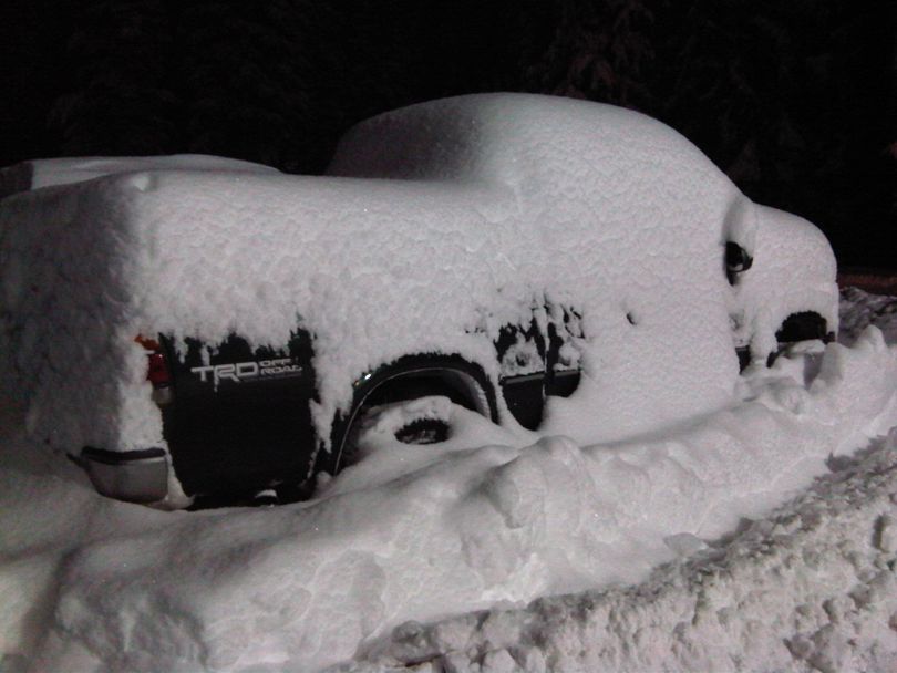
I think we can safely say that winter has arrived in North Idaho, full on. Recall that just last week we had less than one foot of snow in the mountains. Snowfall returned on 11/11/11 and remained fairly consistent for a 36 hour period bringing the mountains more than one foot of new snow in many places.
The beginning of this week rang in clear as a bell with dropping temperatures and high westerly winds. This likely created pockets of heavy snow deposition near ridgetops and weakening base layers in the thin and scoured areas. The clear skies also formed a weak layer of “Recycle” surface hoar, it formed on America Recycles Day that potentially got buried by the recent storms from Wednesday through Friday.
As I write this the wind is barreling down out of the NE and the snow is accumulating rapidly but it is light due to the cold temperatures. Stress on weak layers in the snowpack will come from rapid loads of wind transported snow more than accumulating light snow. This will allow the weak layers to persist in the pack over much of the terrain and perhaps linger as we build a deepening snowpack. This means you should be anticipating unstable snow especially at higher elevations and anywhere in avalanche terrain where enough snow has fallen.
As of 2 p.m. Friday, Snotel sites in the forecast region are showing a range of results. Lookout Pass is 76% of average, Lost Lake is 56%, Mosquito Ridge is 104%, Bear Mtn is 76%, and Schweitzer is 52%. Snow depths are ranging from 18” to 36” with the deepest snow to the north thus far.
As of this weekend we’ll have three ski areas open, Lookout Pass, Schweitzer, and 49 Degrees North. Trail riding for snowcatting should be possible in many areas, just be aware of gates and low lying objects.
