Study reveals increasing development along forest boundaries
PUBLIC LANDS -- Perhaps researchers are offering some insight on how wildlife and hunters are feeling the squeeze of humanity in rural areas -- and why forest fire fighting costs continue to soar.
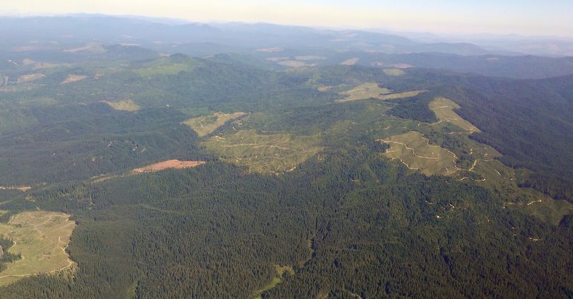
Private development along the edges of most public forests in Oregon and Washington more than doubled since the 1970s, a new study conducted by the U.S. Forest Service Pacific Northwest (PNW) Research Station has found.
The study, which used aerial photography to inventory structures at the fringes of public forests, is the first to look at development trends in the two states before and after the enactment of land use laws. The findings are reported in Changes in Development Near Public Forest Lands in Oregon and Washington, 1974-2005: Implications for Management, a report published by the PNW Station.
“Although public forests are not necessarily directly subject to development, they still face management issues at their edges because of indirect development pressure,” said David Azuma, a research forester at the station who led the study.
In Oregon and Washington, about half of all forest lands are publicly owned and managed by the Forest Service, Bureau of Land Management, Oregon Department of Forestry, and Washington Department of Natural Resources. Using a fine-scale grid of points on air photos across the two states, Azuma and colleagues classified areas outside of federal lands for land use and then recorded the number of structures within a 321-meter radius of each of these points.
“Quantifying the increases in structures in areas that have not been converted in land use can serve as a surrogate for the broader risk associated with development near public lands,” Azuma said.
Among the study’s findings:
- Structure density within 1 kilometer of public forest more than doubled for each of the public owner groups between the 1970s and the mid-2000s.
- Washington Department of Natural Resources lands are the most developed along their edges, with an average of 11 structures per square kilometer within 1 kilometer of their land – a rate that is more than twice that of lands managed by the other public land owners.
- In Oregon, the greatest amount of development occurred along the edges of Bureau of Land Management forests, where there is an average of 4.4 structures per square kilometer within 1 kilometer and 19.5 structures within 2 to 5 kilometers of their land.
- The greatest increases in structure density along public forest borders occurred in Pierce, King, Snohomish, and Clark Counties in Washington, and in Deschutes County in Oregon.
The study’s findings suggest that areas with increasing development should probably expect continued development. The work can help agencies that manage public forests to better plan for management options at the edges of their land.
- The study also verifies the attention Washington state agencies and groups such as the Rocky Mountain Elk Foundation and The Nature Conservancy have given to "blocking up" forest lands that are in checkerboard ownership. See story and links.
The report is available online.
