Prescribed burns planned on Idaho Panhandle forests
PUBLIC LANDS -- The fire-fighting season is winding down, and now, as burning conditions are controllable, the planned use of fire is about to begin for the benefit of forests health and wildlife habitat.
Here the plan from the Idaho Pandhandle National Forests:
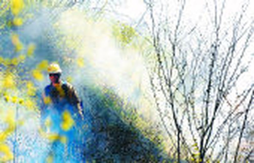
National forest visitors this fall can expect to see occasional smoke and short term area closures due to planned prescribed fires in various locations across the Idaho Panhandle.
Hunters, hikers, campers and other forest visitors should check the Idaho Panhandle National Forest (IPNF) website for prescribed fire locations and updates before venturing into the woods this fall. Not all planned locations will be ignited this fall, but when conditions are right the forest website will be updated and fire crews will post signs in the area and visit nearby campsites prior to ignition.
For a full listing of potential prescribed fire sites, including maps, visit the IPNF Prescribed Fire web page or www.northidahorxfire.com.
“Our prescribed fires complement local community wildfire protection plans, and provide great benefits to forest health,” said District Ranger Chad Hudson. “The end result will be reduced wildfire risks for local communities, improved wildlife habitat and a large step toward restoring the forest’s resiliency to threats such as uncharacteristic fires, insects and disease.”
Active burning will occur at each site for a period of 2-3 days, with smoldering fire afterward until rain or snow extinguishes the fires. Burn areas can pose very hazardous conditions such as rapid and unpredictable spreading of flames, falling trees, heavy smoke and limited visibility, and rolling rocks and logs. Members of the public are urged to stay away from these areas during burning operations and for a few days afterward. If you plan on recreating or hunting in these project areas make sure you understand your location relative to the burn units. If you find yourself in an active burn area, you should travel downslope or away from the predominant path of flames, because fire typically burns fastest upslope. When burn dates or date ranges are forecasted, signs will be posted along access roads and near affected trailheads and trail junctions. Temporary access restrictions or closures may be utilized if deemed necessary for public safety.
Contact your local US Forest Service office.
