Bass anglers organizing to chart Lake Spokane, update maps
FISHING -- Navionics and members of the Spokane Bass Club are teaming on Saturday to create a better HD bathymetric (topographical) map of Lake Spokane/Long Lake.
- Anglers who have boats outfitted with sonar units can join the effort by emailing Tyler Brinks, tylerbrinks@yahoo.com. The group will meet at the Nine Mile Recreation Area launch (Discover Pass required) at 8 a.m. and work until noon.
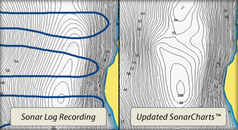
The process involves idling and surveying the lake using our GPS/fish finders and then uploading to Navionics who will update their SonarCharts™maps within a week.
Learn how to record sonar logs using your Humminbird, Lowrance, Raymarine, Simrad, B&G and Garmin equipment.
Save to any card, upload, and see results in about one week.
- Watch the video.
