New map published for Cabinet Mountains Wilderness
PUBLIC LANDS -- A new Cabinet Mountains Wilderness map, highlighting about 80 trails, has been published by conservation groups celebrating the 50th anniversary of the Wilderness Act.
“The last Forest Service wilderness map, published in 1992, is out of print and almost impossible to find,” said Sandy Compton of the Friends of the Scotchman Peaks Wilderness, one of several groups, agencies and businesses that worked on the project.
“This is not only a good map as far as being able to find your way around, it’s also more of a resource for the local communities,” he said, noting it lists trails, contacts, attractions and services around the Western Montana wilderness area south of the Kootenai River.
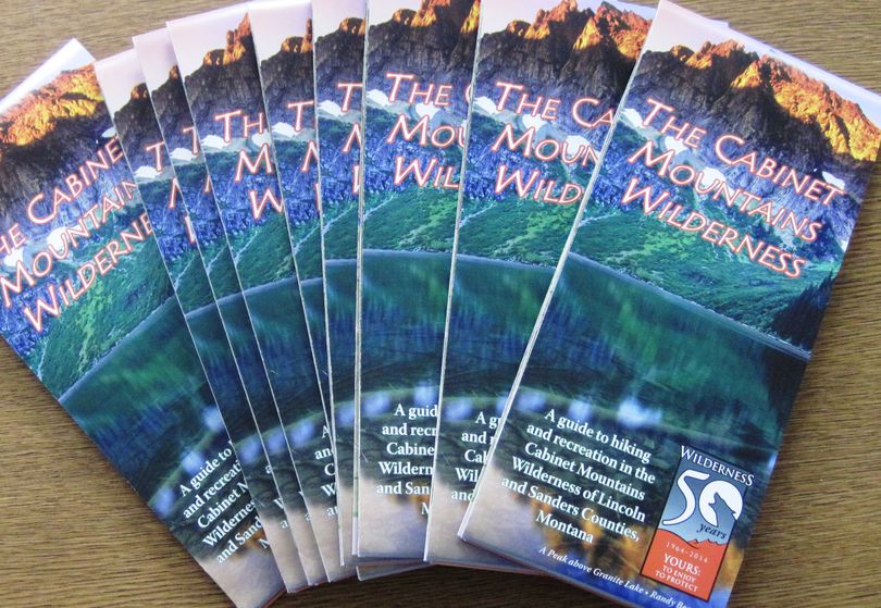
Ten trails are spotlighted with short descriptions to show the range of options. It's beautifully illustrated with photos from the area.
The new map is clean, easy to read and water-resistant. But mapaholics won’t want to throw away their old Forest Service wilderness map.
For example, the new map leaves off a few landmark names, including small lakes or ponds and Hanging Valley.
Perhaps only a little prematurely in this age of climate change, it omits Blackwell Glacier on the north side of Snowshoe Peak and shows it as water.
However, trails on the new map are updated, easier to follow and more detailed.
Released this week, the map is being distributed at Forest Service offices, stores in the region as well as the Spokane REI store.
- A free app is available for Android or IOS mobile devices. Download it at www.avenza.com/pdf-maps Then, go to www.wildmontana.org/cabinethikes and download the GeoPDF.
