High Bridge Park
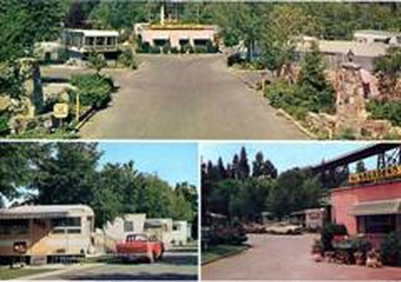
1950 Images of the Motor Camp in High Bridge Park
1950 Images of the Motor Camp in High Bridge Park
Since 1910 the City of Spokane has had difficulty deciding what to do with this scenic area along the banks of Latah Creek and the Spokane River. High Bridge Park has had a variety of uses including sanitarium for tuberculosis, federal housing for veterans, motor camping and a dude ranch.
In 1988, the Park Board went on a retreat to determine the future of High Bridge Park. At that retreat the Board could not reach consensus.
Today, the Park includes numerous running and mountain bike trails, swimming, a dog park, frisbee golf course, along with picnic shelters and gathering areas. In 2004, the Sandifur Bridge was constructed linking the west and east side of the Spokane River and greatly enhancing the High Bridge Park experience.
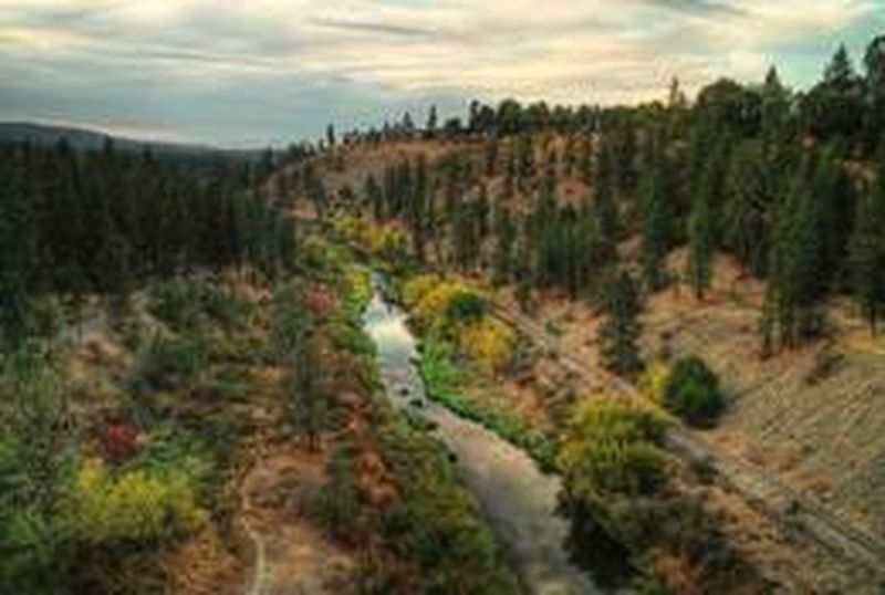
Current Image of Latah Creek and High Bridge Park
Directions to the next stop: The Great River Gorge Park
2.2 mi away
Head south on High Bridge Park toward W 11th Ave
High Bridge Park turns left and becomes W 11th Ave
Turn left onto S Coeur D Alene St
Continue onto S Inland Empire Way
Continue onto S Sunset Blvd
Continue onto W 3rd Ave
Turn left onto S Lincoln St
Turn left onto W Main Ave