Spokane Area Fires: Before and After
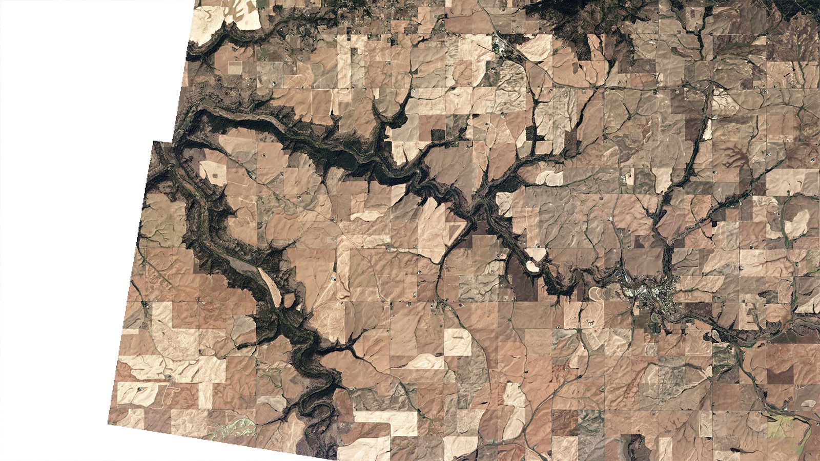
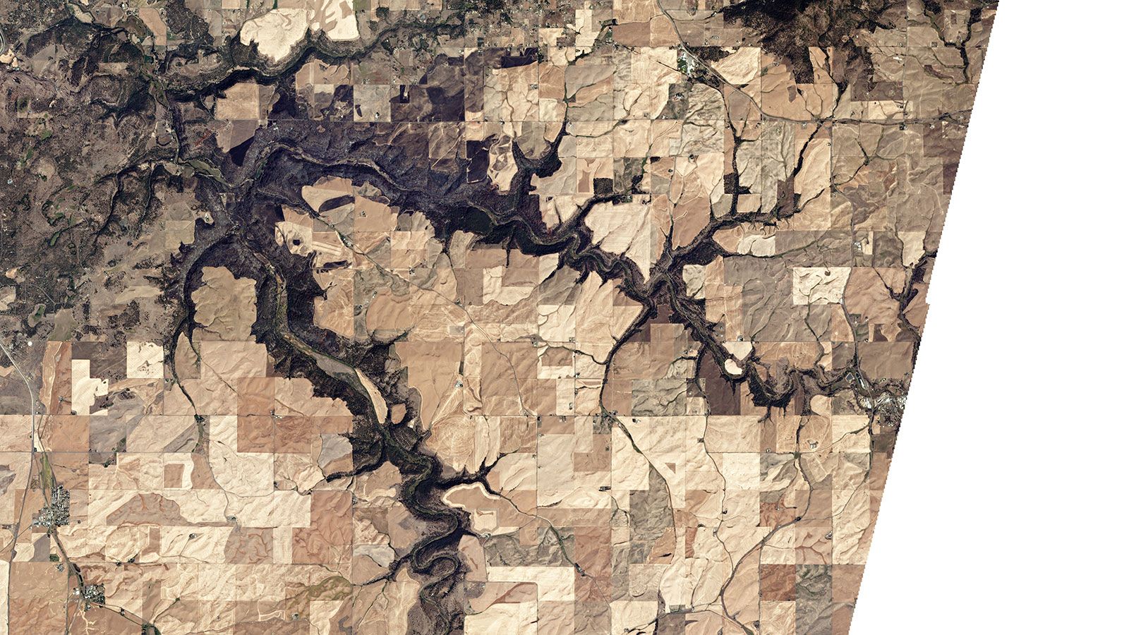
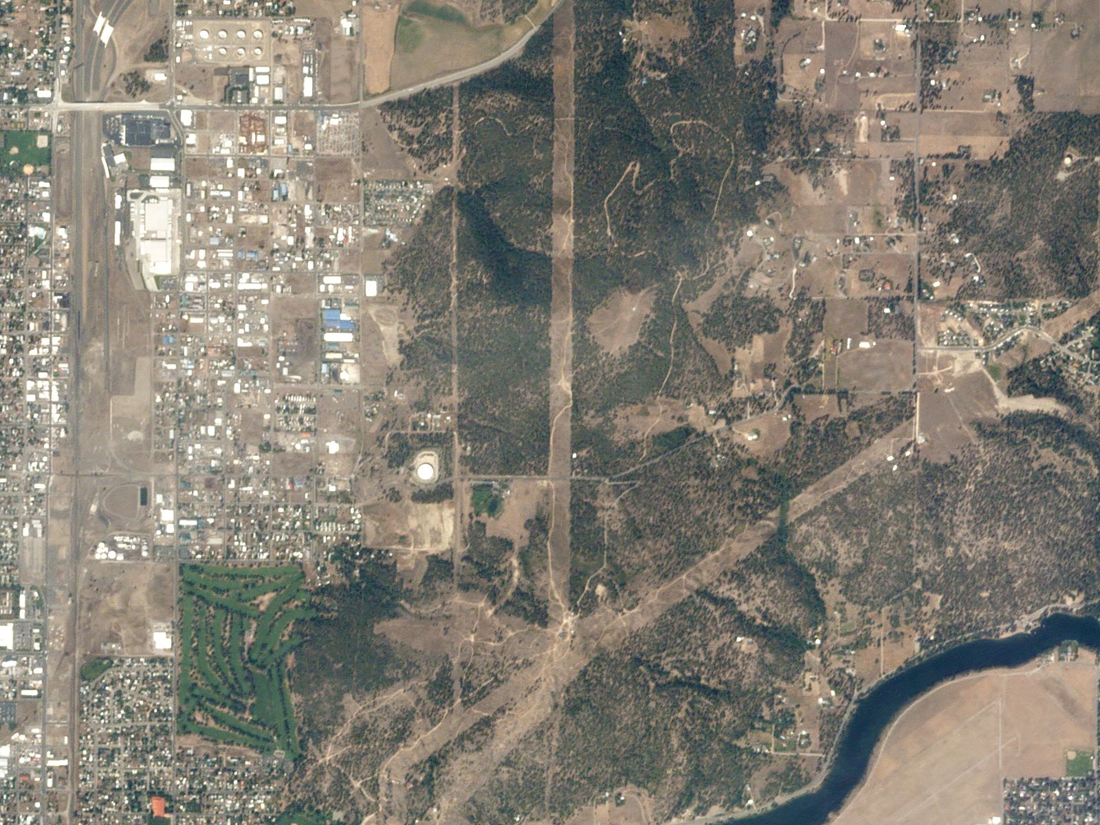
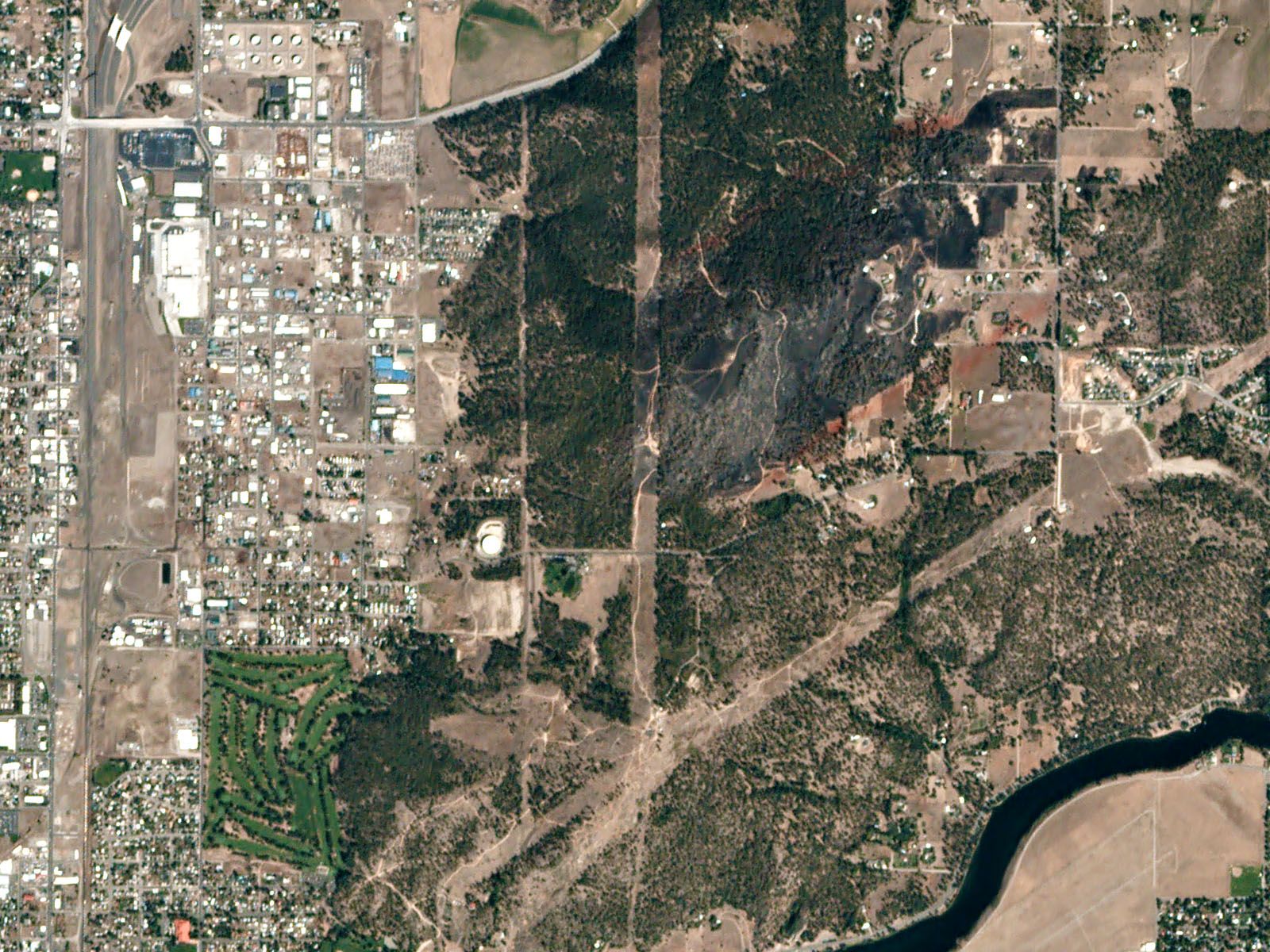
Satellite imagery taken by Planet Labs on August 25, 2016 shows some of the recent fire damage from the Yale Road and Beacon Hill fires in the Spokane area.
Swipe left and right to compare with the before images taken on August 15, 2016, just before the fires.
Satellite images of the Yale Road Fire damage
- Acres:
- 5,854
- Contained:
- 75%
- Structures burned:
- 10 homes
- Cause:
- Downed powerline
- Currently:
- A "very slight potential for isolated torching" but expect the fire to burn beyond its current footprint


Slide
Satellite images of the Beacon Hill Fire damage
Before image taken on August 18, 2016. After image taken August 26, 2018. The red areas around the fire damage is flame retardent.
- Acres:
- 341
- Contained:
- 100%
- Structures burned:
- Two homes, several outbuildings
- Cause:
- Under investigation
- Currently:
- Crews are monitoring the area for hotspots


Slide
SOURCES: Lincoln County Sheriff's Office; Greater Spokane Emergency Management