Scientists taking aquifer’s measure

From Sandpoint to Spokane, a team of scientists this week is getting a first “snapshot in time” of the vast underground aquifer that supplies drinking water to more than 400,000 people in two states.
Fifteen scientists from the U.S. Geological Survey, the Idaho Department of Water Resources and the Washington Department of Ecology are measuring water levels in up to 300 wells near the lakes and rivers that interact with the Spokane Valley-Rathdrum Prairie Aquifer. They’re also checking the levels of the lakes surrounding the aquifer.
The study will help determine for the first time whether the region’s water supply is adequate for drinking water, economic development, fish and recreation. It’s the centerpiece of the first phase of an estimated $3.5 million study.
Last year, Congress appropriated $500,000 for the study’s first year, 2004. The project was triggered by a series of controversial requests in 2002 by power companies for large withdrawals of water out of the aquifer. The withdrawals were challenged by environmental groups and others concerned that the aquifer is already overused, and state officials agreed that a comprehensive study is needed.
“Water resource demands are increasing at a time when aquifer and river dynamics are not well understood. This understanding is essential in making proper management decisions” about groundwater and surface water appropriations, according to the project’s memorandum of understanding signed last December.
The search for the initial funds was bipartisan. Sen. Patty Murray, D-Wash., Sen. Larry Craig, R-Idaho, and Rep. George Nethercutt, R-Wash., all participated. The Spokane Regional Chamber of Commerce and the Coeur d’Alene Chamber of Commerce are jointly pursuing federal and state funding for future study years.
The project’s long-range goal is to create a model of the groundwater system using computer software. Portions of the aquifer have been modeled, but the entire system hasn’t, said Mark Savoca, the USGS study coordinator in Tacoma.
The computer modeling will help forecast how water use and development would affect water levels in the aquifer and associated streams and lakes – assisting the states in their water management decisions.
Early Monday, the on-the-ground science got under way as the project’s hydrology experts met at the University of Idaho Research Park in Post Falls to coordinate their first day’s work.
Hydrologist Sue Kahle, USGS team leader from Tacoma, and physical science technician Keith Hein of the USGS field office in Post Falls demonstrated their methods at two monitoring wells along a bend of the Spokane River in Post Falls.
“Our goal is to get a point-in-time picture of the aquifer” while regional water levels are at their lowest, Kahle said.
The two USGS wells at Post Falls were drilled in 1999 and 2000 for a major government water quality study of the Northern Rockies Intermontane Basins, which stretch from western Montana through North Idaho to northeastern Washington.
That USGS study, released in May, showed that the fluctuating flow of the Spokane River matches the flow of the underground aquifer and also demonstrated that there is generally little inflow of heavy metals from Idaho’s Silver Valley to the aquifer from the river, Hein said.
But it also concluded the Spokane Valley-Rathdrum Prairie Aquifer is “particularly vulnerable” to contamination because of shallow water tables, porous rocks and relatively rapid recharge rates.
Now, on eight wells over the aquifer, measuring devices called “mini-trolls” are making hourly recordings of water levels. The scientists also have been getting monthly measurements on 60 aquifer wells since April. Another 200 wells will be monitored seasonally.
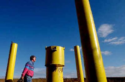
For some of its work, the project team is using 500-foot coils of steel tape, graduated in hundredth-of-a foot units and wired for sound or a light display. When Hein lowered the long yellow tape into one of the Post Falls wells, its probe beeped when it hit water at 67 feet.
Project scientists are also measuring the levels of all the lakes that surround the aquifer, including Lake Pend Oreille, Coeur d’Alene, Liberty and Newman. They’ll also be back in October with hand-held Global Positioning System survey devices to get accurate elevations for each well, Kahle said.
Many of the wells under study are on private lands. Property owners in Washington and Idaho have been notified that the scientists are coming their way this week.
The study team has gotten good cooperation in Washington, but has met some resistance in Idaho, the USGS scientists said.
“We’ve had some people say no. About 10 percent are ready to run you off when they see the government plates,” Hein said.
“For the most part, people are cooperative. If they don’t want us there, we leave,” Kahle said.
A report on this week’s aquifer project will be made public late next year.