Google adds satellite maps
SAN FRANCISCO — Online search engine leader Google has unveiled a new feature that will enable its users to zoom in on homes and businesses using satellite images, an advance that may raise privacy concerns as well as intensify the competitive pressures on its rivals.
The satellite technology, which Google began offering late Monday at http://maps.google.com, is part of the package that the Mountain View-based company acquired when it bought digital map maker Keyhole Corp. for an undisclosed amount nearly six months ago.
This marks the first time since the deal closed that Google has offered free access to Keyhole’s high-tech maps through its search engine. Users previously had to pay $29.95 to download a version of Keyhole’s basic software package.
A more traditional map will continue to be the first choice served up by Google’s search engine. Users will have the option of retrieving a satellite picture by clicking on a button.
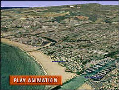
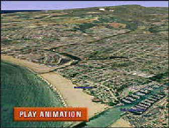
The satellite maps could unnerve some people, even as the technology impresses others. That’s because the Keyhole technology is designed to provide close-up perspective of specific addresses.
Keyhole’s previous government ties also have raised anxieties.
Founded in 2001, Keyhole raised some money in 2003 from In-Q-Tel, a venture capital firm backed by the Central Intelligence Agency. Leading up to the Google sale, Keyhole’s roughly 10,000 customers included a cross-section of government agencies.
There is little reason for people to be paranoid about the satellite maps because the images generally are six to 12 months old, said John Hanke, Keyhole’s general manager. “And it’s not like you are going to be able to read a license plate on a car or see what an individual was doing when a particular image was taken,” he said.
Google believes most people will like the convenience of generating a satellite image with a few clicks of a computer mouse. The company envisions people using the service as a way to scout a hotel’s proximity to the beach for a possible vacation or size up the neighborhood where an apartment is for rent.
Google’s free satellite maps initially will be limited to North America, with images covering roughly half the United States, Hanke said.