Google puts charities on the map

NEW YORK — Google Inc. launched an initiative Tuesday to help charities and other non-profit groups use maps and satellite images to raise awareness, recruit volunteers and encourage donations.
The Google Earth Outreach program represents a formalization of ad-hoc partnerships with organizations using the free software to publicize their works.
Already, the U.S. Holocaust Memorial Museum has been using Google Earth to call attention to atrocities in the Darfur region of Sudan. When users scan over Darfur, they see icons of flames representing destroyed villages and of tents for refugee camps. Clicking on one opens a window with details and links on how to help.
The U.N. Environmental Program, meanwhile, has used the software to show areas of environmental destruction. The Jane Goodall Institute shows locations of its research on chimpanzees and African deforestation. A Brazilian Indian tribe is working on ways to help stop loggers and miners from deforesting the jungle and digging for gold.
“There’s nothing like the power of information to make people understand the urgency of action,” said Kathy Bushkin Calvin, executive vice president for the U.N. Foundation.
Edward Wilson, chief executive of Earthwatch Institute, said the maps help people understand that “what they are reading is not happening some place out of sight, out of mind. Those places become places you can visit, you can actually see.”
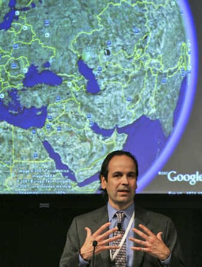
The launch party at Google’s New York office, chosen for its proximity to leading philanthropic groups, came complete with beach balls sporting globe designs. Video monitors showed Google Earth’s software in action.
By turning these individual efforts into a formal program, the Mountain View, Calif.-based search company hopes to make its tools more widely available to non-profits around the world. The resources will be available on an open Web site, so technically individuals and corporations can tap into the program as well.
However, one component of the initiative — grants to receive a free copy of Google Earth’s $400 professional-version software — will be limited initially to certain U.S. non-profits certified by the Internal Revenue Service. Many of the features, though, are available in the free version of Google Earth, available as a download for Windows, Mac and Linux computers.
Non-profits are “trying to tell a story and trying to move people emotionally,” said Rebecca Moore, manager of Google Earth Outreach. “They are trying to inspire action, advocate on behalf of a cause and drive people to, for example, make donations, sign a petition or lobby your congressional representative.
“They have somewhat unique needs. Therefore we have focused on helping them understand how to do these things.”
Many government agencies, hobbyists and other users of Google Earth already overlay maps with photos, video, text and links pinned onto specific locations.
“KML” files containing such overlays are distributed through Web sites, e-mail or the software itself. Once a user clicks on the file, icons representing those elements appear on the map.
Google will be providing online guides, video tutorials and case studies aimed at showing non-profit representatives how they, too, can use Google Earth’s overlays.
Although Google also runs a mapping Web site, users will need the free Google Earth software to view the materials. Google says it has 200 million Google Earth users worldwide.