Ice Age floods left their mark
Lecture, tour cover prehistoric landscape

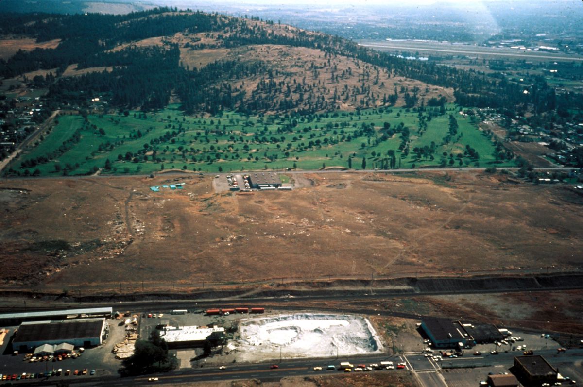
Spokane County’s West Plains bears the scars of ancient flooding that funneled out of the Spokane Valley as a 1,200-foot-tall wall of water.
Even though the series of massive floods occurred 12,000 to 18,000 years ago, scientists say lines from the largest “ripple field” ever discovered are still visible near Spokane International Airport.
“You can see them from the freeway if you know what you’re looking for,” said Dave Daugharty, president of the Cheney-Spokane chapter of the Ice Age Floods Institute. “The amount of water that came over the top of our area is unbelievable.”
The chapter plans to present the evidence in a free lecture Tuesday and a field trip later in the week.
The events celebrate recent congressional action calling for a series of motor routes to highlight features of the prehistoric flooding that carved the landscape of much of the Pacific Northwest, from Missoula to Oregon’s Willamette Valley.
Within three years, supporters hope to see interpretive centers and roadside displays along the motor routes, collectively known as the Ice Age Floods National Geologic Trail. People who don’t want to wait can hop a chartered bus May 16 for a tour narrated by experts from the local Ice Age Floods chapter.
Prepare to be amazed, Daugharty said. “It doesn’t seem that this really could have happened.”
One measure of the enormity of the floods is that as much as 500 cubic miles of water is believed to have been released in 48 hours by one of the repeated ruptures of the giant ice dams that formed what scientists call Lake Missoula. That’s as much water as Lake Erie and Lake Ontario together contain.
Water trapped by blockage of the Clark Fork River drainage, is believed to have been more than 2,000 feet deep at the dam when Lake Missoula was at its largest.
The lake spread east almost 100 miles to what is now Deer Lodge, Mont., Daugharty said. “So when that amount of water went through here, it just scoured everything out.”
The floods also left some deposits from upstream.
“If you’ve got a granite boulder anywhere in the area, it was carried here by that flooding,” Daugharty said.
He said one such boulder was found in Eugene, Ore., where it apparently washed in as part of an iceberg.
Gravel as thick as 300 feet in the Spokane Valley also was deposited by the flooding.
Native Americans, who are believed to have been living in the region’s lowlands, would have been wiped out by water that was as deep as 800 feet at the Tri-Cities – where the 9,000-year-old Kennewick Man’s skeletal remains were found in 1996. The remains are among the oldest found in the region.
By the time of Kennewick Man, the Ice Age floods had ended and people may have moved back into the lowlands, Daugharty said.
Daugharty got interested in the prehistoric floods while teaching mathematics at Eastern Washington University. The math department shared a building with the geology department “and those guys would come in and talk about this stuff,” he said.
Tuesday’s lecture, focusing on geologic and hydrologic explanations for features of the West Plains, will be at 6:30 p.m. in Room 317 of the Science Building at EWU.
The May 16 field trip will cost $50 for Ice Age Floods Institute members and $60 for nonmembers, but a $20 rate is available for kindergarten through high school teachers and students may participate for $15. The fee includes a guidebook and a box lunch.
Charter buses will start loading at 7:30 a.m. at EWU parking lot P12, near the athletic field off Washington Street. The tour will begin at 8 a.m.