Whitman students seek answer to height of Palouse Falls
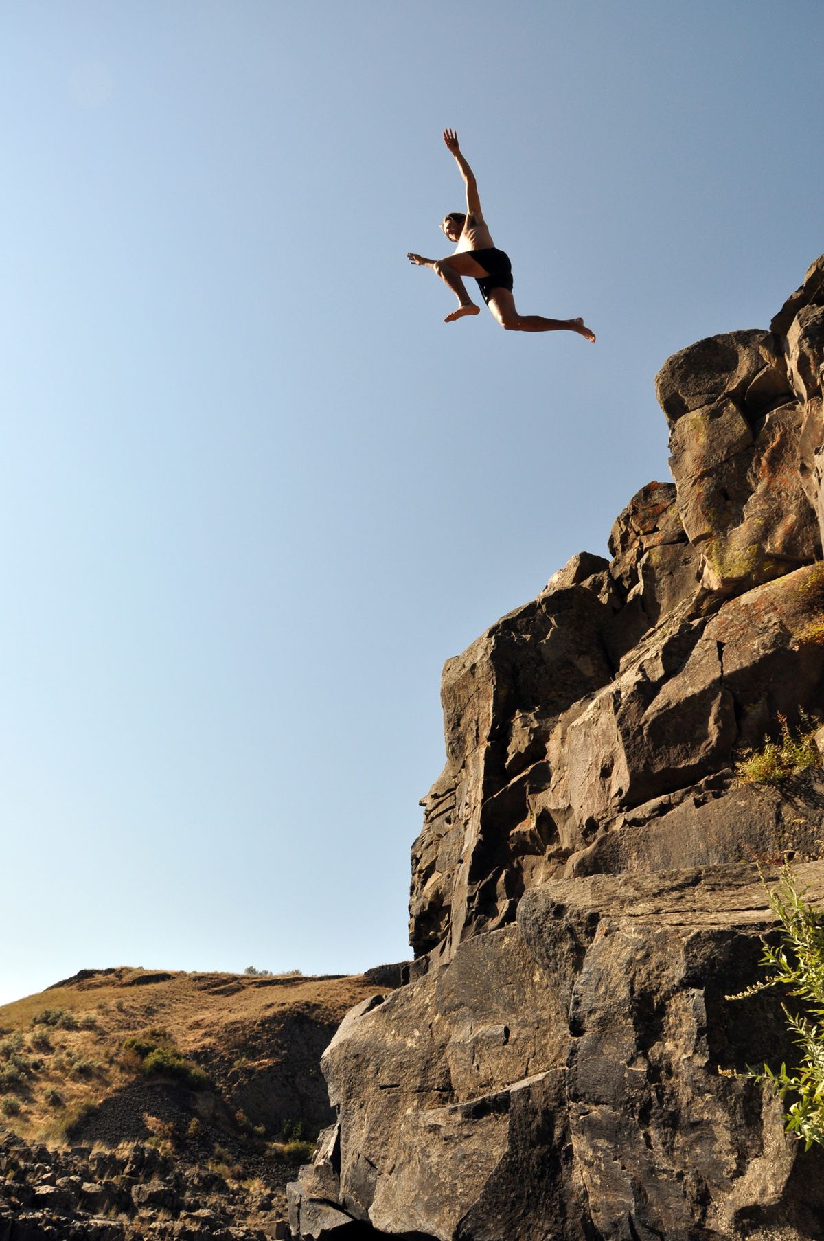
Professional paddler Tyler Bradt raised a puzzling question on April 21 when he traveled to southeastern Washington and set a world record for the highest waterfall descent in a kayak: What is the height of Palouse Falls? A group of Whitman College students set out recently to separate fact from hearsay.
The Washington State Parks Web site offers this description for the picturesque landmark on the Whitman-Franklin county line:
“Palouse Falls State Park is a 105-acre camping park with … a dramatic view of one of the state’s most beautiful waterfalls. Palouse Falls drops from a height of 200 feet.”
Park literature nails it more precisely at 198 feet.
Although it would have been an even more remarkable kayaking record at that height, Bradt said he was sure that figure was over-stated in a post-plunge interview this spring.
He told The Spokesman-Review he looked on the Internet and found references to several elevations ranging from 175 to 200 feet, with several sources pegging the height at 186 feet.
After a companion lowered a climbing rope from the top of the falls to the pool below, Bradt said his friends stretched the rope out on the road, stepped it off and said the 186-foot figure was close if not a bit conservative.
So that’s what he claimed for a descent record, smashing the previous record of 127 feet set in Brazil.
Don’t scoff at the kayaker’s measuring method. The official measurements the state park’s literature cites was acquired in much the same way before Palouse Falls became a state park in 1945.
“After the story about the kayaker appeared in the paper, an area farmer came up to me in the park and said he and his grandfather were the ones who came up with the original measurement for the falls,” said Mark Truitt, manager for the Palouse region’s state parks.
“I didn’t get his name, but he said he was a kid on a big family picnic something like 70 years ago when they lowered a weight on a rope and got the measurement of 198 feet.”
State agencies queried by The Spokesman-Review earlier this summer showed no interest in getting an official measurement using state-of-the-art laser surveying equipment needed to get accurate height measurements.
However, Bob Carson, Whitman College geology professor, jumped at the idea.
Palouse Falls, with its rich geological history as a landmark of the Ice Age Floods, is a regular field trip destination for Carson and his students.
The latest field trip on Aug. 18 included climbing gear, surveying equipment and intellectual curiosity.
First question: Where does Palouse Falls begin and end?
Carson’s crew measured from the bottom pool up to the top pool – the flatwater from which the water begins to tumble down. This measurement includes the short “ramp” of falling water before the vertical dropoff.
Variables: The altitudes of the top pool and the bottom pool vary depending on the flow of the Palouse River.
•The flow was 53 cubic feet per second when Whitman students made their measurements on Aug. 18. The top pool was roughly 10 feet below the river’s normal high-water mark. All the water was pouring through the lower third of the river channel at the basalt “lip” of the falls
•The flow was around 2,010 cfs on April 21 when Bradt kayaked over the falls. The river level was roughly 5 feet higher than on Aug. 18 – high enough to be pouring over the entire width of the river channel at the lip of the falls.
•The flow peaked this year at 8,300 cfs on Jan. 9. The river would have been about 12 feet higher than on Aug. 18. (The highest recorded flow is 27,800 cfs).
However, as the river level rises on top of the falls, the altitude of the plunge pool at the bottom also rises. Carson used a surveyor’s grade altimeter to estimate about 7 feet of difference between the plunge pool level on Aug. 18 and in the high flows of January.
Variables bottom line: The vertical pool-to-pool drop of water over Palouse Falls probably varies about 5 feet in various river flows.
Method: Three students used climbing gear to anchor themselves on the most vertical point of the cliff above the falls. They lowered a milk jug of water from a no-stretch surveyor’s fiberglass tape measure.
Two students stationed at the Palouse Falls visitor viewpoint used a scope and level and communicated by radio when the milk jug was level with the top pool. A measurement was recorded from the tape crew and the viewpoint crew used a clinometer to record the angle from their sighting.
Then the jug was lowered to the middle of the wave action of the pool below and another measurement was taken.
For verification, Carson used the surveyor’s altimeter to make two different readings at the top and bottom pools.
Back at the Whitman campus, Carson recruited a math professor to double-check his trigonometry in combining the measurements and angles.
Conclusion: The vertical pool-to-pool drop from Palouse Falls on April 18 was most likely 175-180 feet.
Depending on flows, the height of Palouse Falls could vary by another 5 feet or so.
By anyone’s calculations, it’s still a breath-taking spectacle, and a world-record plunge in a kayak.