Downed trees cut power as snow piles up
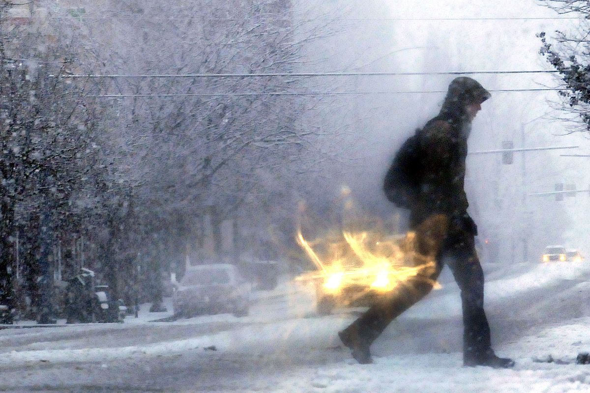
A major snowstorm that swept across the Inland Northwest on Wednesday triggered widespread accidents, closed major highways and knocked out power to thousands.
At one point Wednesday night, Avista Utilities had 6,600 customers without power. The outages affected customers as far west as Davenport, Wash., and as far east as Kellogg, and from Sandpoint to Deary, Idaho.
Heavy, wet snow throughout the day combined with blustery winds to bring down limbs and trees into power lines. Spokane saw gusts up to 26 mph.
“We’ve got trees touching lines, and that shorts things out,” said Avista spokesman Dan Kolbert on Wednesday afternoon.
“I’m freezing,” said one caller to The Spokesman-Review, who reported that her power went out about 11 a.m. and that the temperature in her house had dropped to 60 degrees by 3:30 p.m.
Mount Spokane ski area lost power about 11:30 a.m., but crews from Inland Power and Light Co. located a tree that had fallen and were able to make repairs.
Winds gusting to 36 mph in Pullman caused blowing and drifting snow that forced closure of the two main north-south routes through the area. Forecasters said the drifting could have been worse had the snow been lighter and fluffier.
There were numerous highway closures throughout the region, including Interstate 90 near Liberty Lake during the evening commute.
Snowfall amounts varied. Spokane International Airport had 8 inches of snow by 7 p.m., as did the downtown area.
Forecasters earlier said as much as a foot of snow was possible, and one location near Clark Fork had nearly 26 inches by 4 p.m. Coeur d’Alene recorded 10 inches by 4 p.m. and St. Maries had only 5 inches.
As the snowfall subsided late Wednesday, attention was turned to a forecast blast of arctic air that could take lows to zero degrees or colder across the region tonight and Friday morning.
Downtown Spokane could see lows of minus 4 on Friday morning and minus 3 on Saturday morning. Coeur d’Alene could be a degree colder.
Partly sunny to sunny skies are likely today through Saturday with highs running mostly in the teens. Temperatures will slowly rebound on Sunday and Monday. Snow is possible again at the middle of next week.
Three warming centers in Spokane and four in North Idaho opened Wednesday night as a result of the forecast extreme cold.
The centers are kept open so that homeless people can stay warm when temperatures are expected to fall to 15 degrees or lower and when regular overnight accommodations have been at capacity in Spokane.
North Idaho centers have slightly different opening conditions.
In Spokane, streets largely stayed slushy and wet during daylight hours as a result of temperatures hovering at or just below freezing.
Freezing overnight was expected to harden the slush into icy bumps and ruts.