After a foot of snow, arctic cold arrives
The National Weather Service this morning lifted a blizzard warning and then lifted a winter storm warning this afternoon in Eastern Washington after a foot or more of snow blanketed the region.
Forecasters, however, warned that windy conditions in the Palouse region of Washington and Idaho could cause drifting snow and low visibilities with dangerous driving conditions.
A winter storm warning remained in effect until 6 p.m. in North Idaho. Also, a wind chill warning was in effect for North Idaho tonight.
It is the strongest and coldest late-February storm to hit the region since 1993, when 13 inches of snow fell and temperatures dropped below zero.
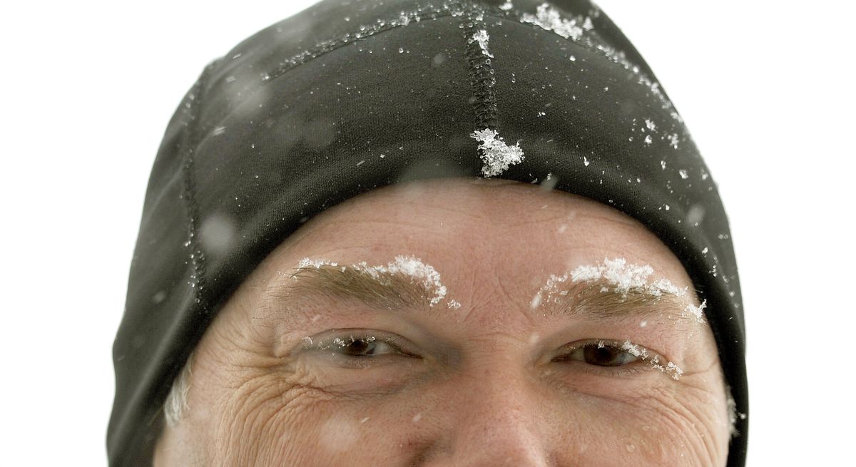
A temperature of 10 degrees was reported this morning at Spokane International Airport with a northeast wind of 15 mph. The wind-chill effect on exposed skin was minus-7.
Wind today could gust to 32 mph.
The National Weather Service said that 11 inches of snow was recorded at the Spokane airport since Wednesday. Other reports had up to 14 inches of snow in the Spokane area, including one from a weather service employee in northwest Spokane.
Drifts as deep as three feet were reported in the Airway Heights area.
Another 1 to 3 inches of snow is possible today as the storm winds down and arctic air continues to flood into the region.
Light traffic was moving across local roadways following the 8 a.m. rush period. The main roads were mostly plowed and passable.
Spokane Transit Authority reported that several of its routes were on snow detours. They were routes 2, 20, 22, 30, 45, 60 and 61.
Drifting snow closed U.S. Highway 195 early this morning for two hours. The roadway opened about 6:30 a.m., the Washington State Patrol said.
Bitter cold temperatures are likely with lows of minus-4 on Friday morning and minus-9 on Saturday morning in Spokane. Highs will make it to the teens.
Moderating temperatures arrive on Sunday with a high of 31. By Monday, the high could reach 34.
There is a 40 percent chance of snow starting Saturday night and a 50 percent chance on Sunday through Monday. Rain may replace the snow by Tuesday.