March storms keep Inland Northwest damp
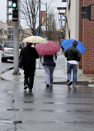

Rain and snow falling across the Inland Northwest this morning should ease during the day, but don’t expect to see much in the way of sun.
Clouds are going to linger over the region this afternoon during a short break in the series of Pacific storms that have brought an unusually wet March.
Forecasters are calling for a high of 51 in Spokane with the snow level rising from 2,100 feet to 3,000 feet this afternoon. Light winds are expected.
The chance of showers tapers to 50 percent today and then 30 percent tonight in advance of a new storm system expected on Tuesday.
Rain or showers are likely over the next few days with highs in the upper 40s to upper 50s and lows from 35 to 42.
Spokane saw 0.14 inches of rain on Sunday and another 0.28 inches fell since midnight.
That brings total rainfall at Spokane International Airport to just shy of three inches for the month, more than double the normal amount.
The 2.99 inches of rain through about noon today makes this March the third wettest on record, said forecaster Jon Fox. The wettest March was in 1995 at 3.81 inches and the second wettest was in 1950 with 3.75 inches.
At 7 a.m., it was 33 and snowing at Spokane International Airport, 37 at Felts Field, 36 in Coeur d’Alene and 35 in Deer Park and Pullman.