New radar system puts tighter focus on precipitation
One of the National Weather Service eyes in the sky is being brought into sharper focus in Spokane.
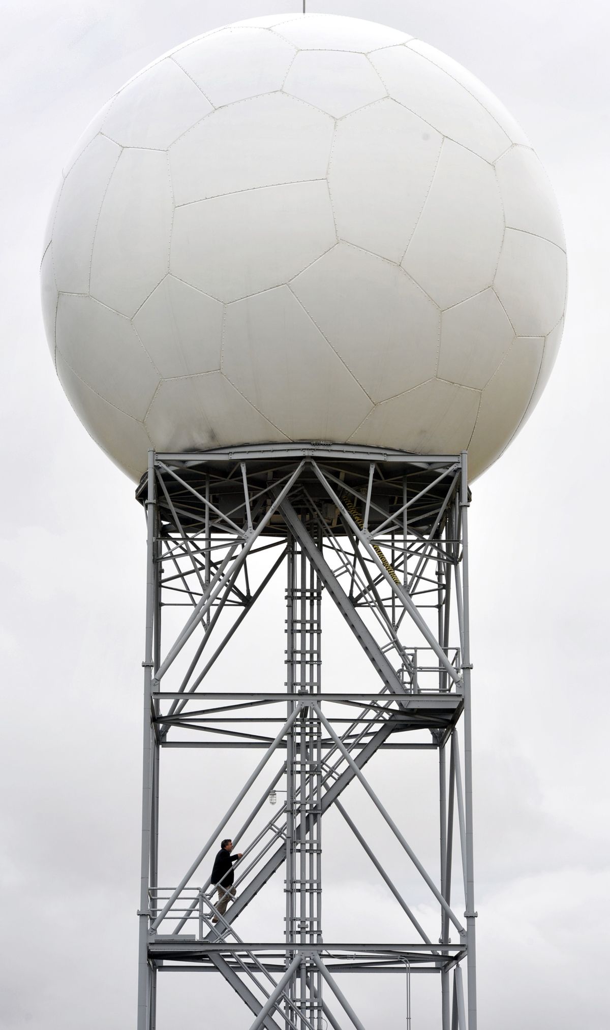
The Doppler radar system, installed here in 1995, is being upgraded this month to provide greater detail to forecasters.
It comes in time for the start of the fall-winter storm season. However, installation will require a two-week shutdown of the existing radar.
Located at the weather service office northwest of Airway Heights, the radar provides the familiar precipitation maps seen on websites and television weather reports.
When matched up with radars from other sites, the system gives forecasters a pretty good look at the movement of storms carrying precipitation.
It’s particularly useful at identifying severe storms, including thunderstorms or even tornadoes.
The new radar is “really going to help with our forecasting,” said John Livingston, meteorologist in charge of the Spokane office at 2601 N. Rambo Road.
Weather radar is just one tool. It’s used in conjunction with satellite images, computer forecast models, ground observations and forecaster knowledge.
The current radar sends out a signal on a horizontal dimension. The upgrade will provide an alternating signal in a vertical dimension that will create a more complete picture of cloud types and precipitation.
As a result, the radar will be able to distinguish between rain, heavy rain, dry snow, wet snow and ice crystals.
Livingston said it will be particularly useful for short-term forecasts and severe weather warnings.
The upgraded radar will provide better color coding on its images showing the different types of precipitation.
Spokane is the last of five radar sites in Oregon and Washington to get the improved system, but Washington will be the first state in the country to be fully upgraded, Livingston said.
One of the five radars is a new site located on a mountain near Copalis, Wash., along the coast.
U.S. Sen. Maria Cantwell, D-Wash., sought that site to provide an earlier look at incoming storms off the Pacific Ocean.
Until now forecasters had a blind spot when looking at radar images offshore of Washington, partly because the radar site north of Seattle is blocked by the Olympic Mountains.
The other sites are near Portland and Pendleton, Ore.
The existing four radar towers send out beams tilted at one degree above the plane of the earth. The radar returns are useful to a distance of at least 125 miles around the radar site.
Copalis will operate at a half-degree tilt to provide greater distance to images over the ocean.
The weather service patches together the images from each site to create a mosaic of precipitation over the broader region.
Private weather companies take the raw data and provide various weather products commercially, including images seen on television.