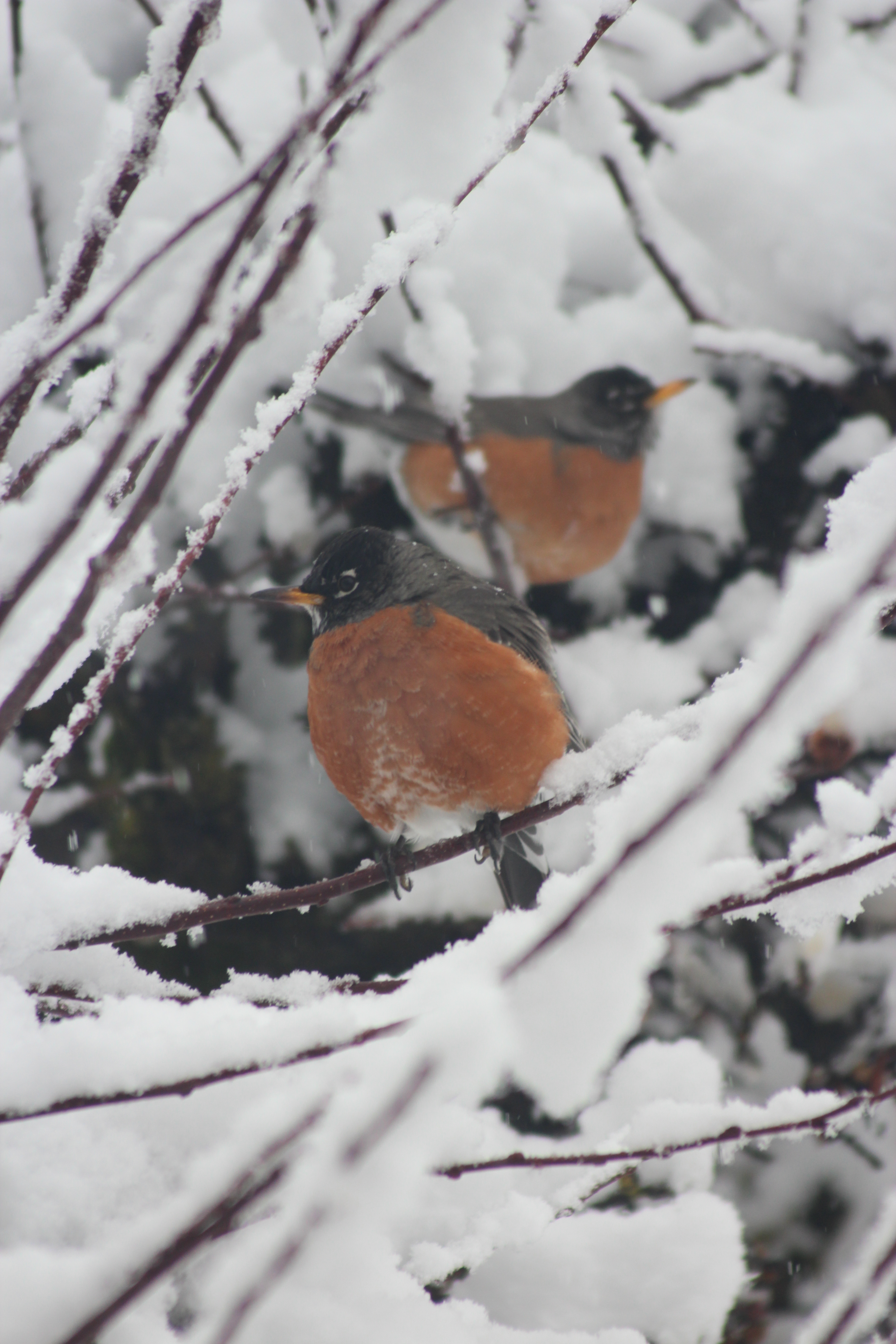
Winter storm bearing down on Inland NW

Another winter storm, this one bringing the chance of moderate to heavy snowfall, is headed toward the Inland Northwest starting Tuesday night.
Forecasters earlier said there was a chance of 5 or more inches in Spokane, but this afternoon have scaled back the forecast to 2 to 6 inches with Coeur d’Alene seeing 3 to 8 inches.
A hazardous weather outlook was issued for the Spokane and Coeur d’Alene areas while a more serious winter storm outlook is in effect for areas to the north of Deer Park in Spokane County and Garwood in Kootenai County.
Five to 11 inches of snow is possible in areas under the winter storm watch, including the valleys and mountains of North Idaho and Northeast Washington.
The mountains of North Idaho could see 6 to 17 inches.
High temperatures on Wednesday and Thursday could rise above freezing, helping to keep roads cleared.
However, travel over mountain passes could be difficult. Snoqualmie Pass on Interstate 90 in the Cascades could see moderate to heavy snow starting Tuesday afternoon.
The storm is expected to deliver the snow locally starting late Tuesday night and continuing on Wednesday and Wednesday night before winding down with potential snow showers on Thursday.
Cold air drawn into the region following last weekend’s cold front has set the stage for snow from the incoming storm, which is barrelling southward from the Gulf of Alaska today.
The pattern is consistent with an early-season prediction that La Nina conditions with cold water in the tropical Pacific would enhance winter weather, especially late in the season.
Spokane International Airport has measured 6.6 inches of snow this month, bringing the season total to 27.4 inches, well below the normal through Sunday of 39.9 inches.
Temperatures are going to moderate again with the influx of Pacific moisture and snow. Highs will return to the upper 30s with lows in the middle 20s.
A low of 15 is possible in Spokane tonight, and some locations could see the coldest lows of the winter if skies clear out and allow heat to radiate into space.