Streets officials anticipate late-arriving snowstorms
Season’s precipitation totals far below average
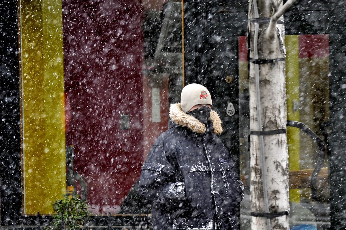
Officials throughout the Pacific Northwest spent Tuesday preparing for an onslaught of severe winter weather, forecast to arrive today after weeks of relative calm across the Inland Northwest.
The Washington Department of Transportation said it was deploying 1,250 maintenance workers statewide in 500 pieces of snow equipment and they would be working around the clock. Meanwhile, deicer was being applied to Inland Northwest roadways in advance of any new snow.
Western Washington continued to reel under the heavy snow that has already arrived in that region, as a storm that arrived over the Cascades last weekend picked up in intensity Tuesday, causing closure of Snoqualmie Pass for several hours while crews plowed and performed avalanche control.
On the East Side, Spokane County commissioners during their afternoon session went over emergency plans so they would be ready for heavy snow, high winds and possible power failures. City of Spokane sanding and deicer trucks were out on Tuesday and the city’s plows and graders are prepared to move snow, said Street Director Mark Serbousek. Additionally, contractors with grading equipment have been put on notice to be ready to move in case the city calls a stage 2 snow emergency.
“Everything’s ready,” Serbousek said.
Storms on Tuesday created winter driving conditions on Interstate 90 between Wallace and the Montana state line, and gusting winds are believed to have blown over a scissor lift in Cheney, which injured two construction workers about 2:30 p.m. Their injuries were described as nonlife-threatening. Both workers were taken to a Spokane hospital for treatment.
The winds occurred while an unusual winter thunderstorm arrived over Spokane County in the mid-afternoon, with swirling gusts and blowing snow.
Southwest wind gusts to 44 mph were clocked at Spokane International Airport late Tuesday morning.
Forecasters said the amount of snow that falls in the Inland Northwest this week may be counted in feet rather than inches in some locations.
A winter storm warning was posted for the upper Columbia Basin southward into Oregon and in the southern half of the Idaho Panhandle through 4 p.m. Thursday.
A strong moisture fetch stretching to Hawaii is expected to slam into a pool of cold air that has moved over the region in recent days. The storm should be under way by daybreak.
By Thursday evening, Coeur d’Alene could see a foot of snow. Spokane is forecast to get 9.4 inches at Spokane International Airport through Thursday evening.
The snowfall is likely to be heavier south and east of Spokane. Pullman could see 17 inches today and Thursday, on top of what fell overnight Monday into Tuesday.
Kellogg may see 21 inches, while Lookout Pass is likely to receive nearly 3 feet of snow, all by Thursday night.
Behind that is another storm for Friday; more stormy weather is possible through the weekend and early next week.
“They are lined up in the Pacific,” said Ron Miller, forecaster for the National Weather Service in Spokane.
Lighter accumulations are expected west and north of Spokane, with Colville likely to see 2 inches today and Thursday.
Areas south of Spokane may see a switch to rain or a wintry mix on Friday.
These potent storms are arriving on a strong jet stream flowing across the Pacific in a reversal of the pattern of calm weather dating back to late autumn.
If forecasters are right, Thursday evening accumulation in Spokane will equal the 9.3 inches of snow that has fallen so far this season at the airport. That compares with a normal amount of 29.2 inches of snow for the season through Monday. The city is also 3 inches behind on precipitation since Oct. 1.
Miller said this week’s storms could erase about half of that snow deficit and maybe a third of the precipitation deficit.
“This will be a good shot, but it’s certainly not going to remove the precipitation deficit we have here or the snowpack deficit in the mountains,” he said.
Snowpacks in California and Oregon will also benefit from these storms.
Silver Mountain ski area near Kellogg reported 10 new inches of snow on Tuesday while 49 Degrees North had 4 inches of new snow and Schweitzer ski area had 14 new inches, both on Tuesday.
Snoqualmie Pass was closed Tuesday in both directions for part of Tuesday, from Milepost 33 near North Bend to Milepost 106 near Ellensburg.
School closures were reported around the region, including Garfield-Palouse schools, which let out early.
Coeur d’Alene Tribal School canceled after-school programs.