Forecast: Snow isn’t over yet
Storm pushes records on West Side; accidents spike throughout Spokane region
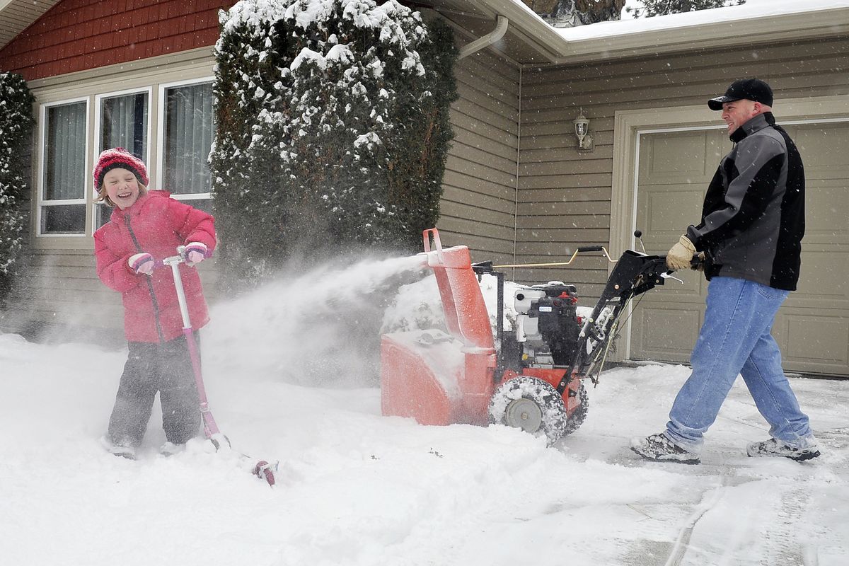
Winter suddenly took on a mean face across the Pacific Northwest on Wednesday with heavy snow, high winds, hundreds of collisions and new threats of flooding.
A mammoth Pacific storm dumped more than a foot of snow on the West Side and packed winds of up to 110 mph on the Oregon Coast.
In Eastern Washington and North Idaho, the storm clogged roads and slowed traffic. Crews were out in force clearing roads. Dozens of collisions were reported.
Washington State Patrol had 40 accidents through the day on highways in Northeast Washington, including a semitruck that jackknifed on Interstate 90 near Sullivan Road.
Spokane County deputies had 91 accident reports during daylight hours in the county and Spokane Valley, while the Spokane Police Department responded to 41 accidents between 6 a.m. and 10 p.m.
Idaho State Police reported 15 collisions, with one injury. The wrecks included a semi that lost a load of logs on U.S. Highway 95 north of Tensed.
The heaviest snow in the Inland Northwest fell south of Spokane, with reports of 8 inches or more coming from Pullman and Lewiston at midday. Spokane had about 3 to 4 inches by midafternoon.
National Weather Service forecasters said Wednesday’s storm is just the start of a winter onslaught that could continue over the coming week.
Spokane and Coeur d’Alene could see up to 4 inches today and tonight.
Spokane Mayor David Condon said at a press conference Wednesday that the city would be providing updates on snow removal via its Facebook and Twitter pages. Condon said the city would continue to use the snow removal plan implemented by his predecessor, Mary Verner.
Heaviest accumulations in the Inland Northwest today will continue to be across the Palouse and central Panhandle. Pullman could see 7 to 11 inches on top of what is already on the ground. Mountains will also see good accumulations.
Additional storms are expected by Friday night and again on Monday.
Milder air with rain may not penetrate as far north as Spokane, at least until the weekend, although Pullman and Lewiston should see rain by Friday or Friday night, forecasters said.
Olympia had nearly a foot of new snow on the ground by late morning on Wednesday, a few inches shy of the all-time daily record there of 14.2 inches.
Lewis County, south of Olympia, had 12 to 17 inches.
From Olympia to the Oregon Coast, the storm closed schools and caused dozens of flight cancellations. Spokane saw some flight delays.
Forecasters in western Oregon and Washington are now warning about a threat of flooding as cold northern air is replaced by a mild, wet flow off the ocean in coming days.
The National Weather Service warned that urban and small-stream flooding was possible Friday.
Also, forecasters warned that heavy rain combined with snow melt could lead to river flooding near Chehalis, which has been hit by significant floods in recent years.
Officials in Lewis County said they didn’t have concerns about flooding in the Chehalis River but were monitoring the amount of snow they receive.
Seattle and other school districts canceled classes in advance of Wednesday’s storm. Alaska Airlines announced late Tuesday that it canceled 38 flights into and out of Seattle and Portland.
Many courts, government offices and libraries closed. Garbage collection was postponed. Several Seattle hotels reported all their rooms were booked. Elsewhere, shoppers stocked up on groceries.
In Oregon, high winds hammered parts of the coast and caused power outages to tens of thousands of customers, with reports of one gust of 110 mph at Cape Foulweather. There were no immediate reports of serious damage.
In Olympia, some state employees walked to work, and at least one worker was seen cross-country skiing to the campus. The 60-day legislative session began Jan. 9.
In Spokane, an accident on T.J. Meenach Bridge caused a major backup late Wednesday morning and forced temporary closure of Meenach Drive, police said.
Vehicles went off I-90 during the day, including one that landed on its top on the westbound shoulder, wedged against a utility pole near Evergreen Road. Traffic up the Argonne Hill to Bigelow Gulch Road also was slowed.
Coeur d’Alene Police reported 25 accidents there during the morning.
Trooper Troy Briggs, WSP spokesman in Spokane, said the initial flurry of accidents Wednesday morning settled down after a few hours, but county deputies said accidents increased during the afternoon.
“There’s a learning curve there,” Briggs said.