Recent storms ease drought across middle of country
Experts warn soakings may not be enough to help agriculture
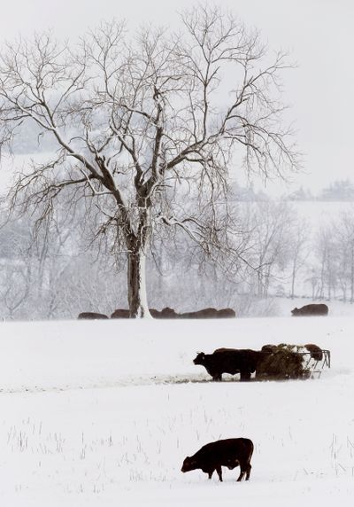
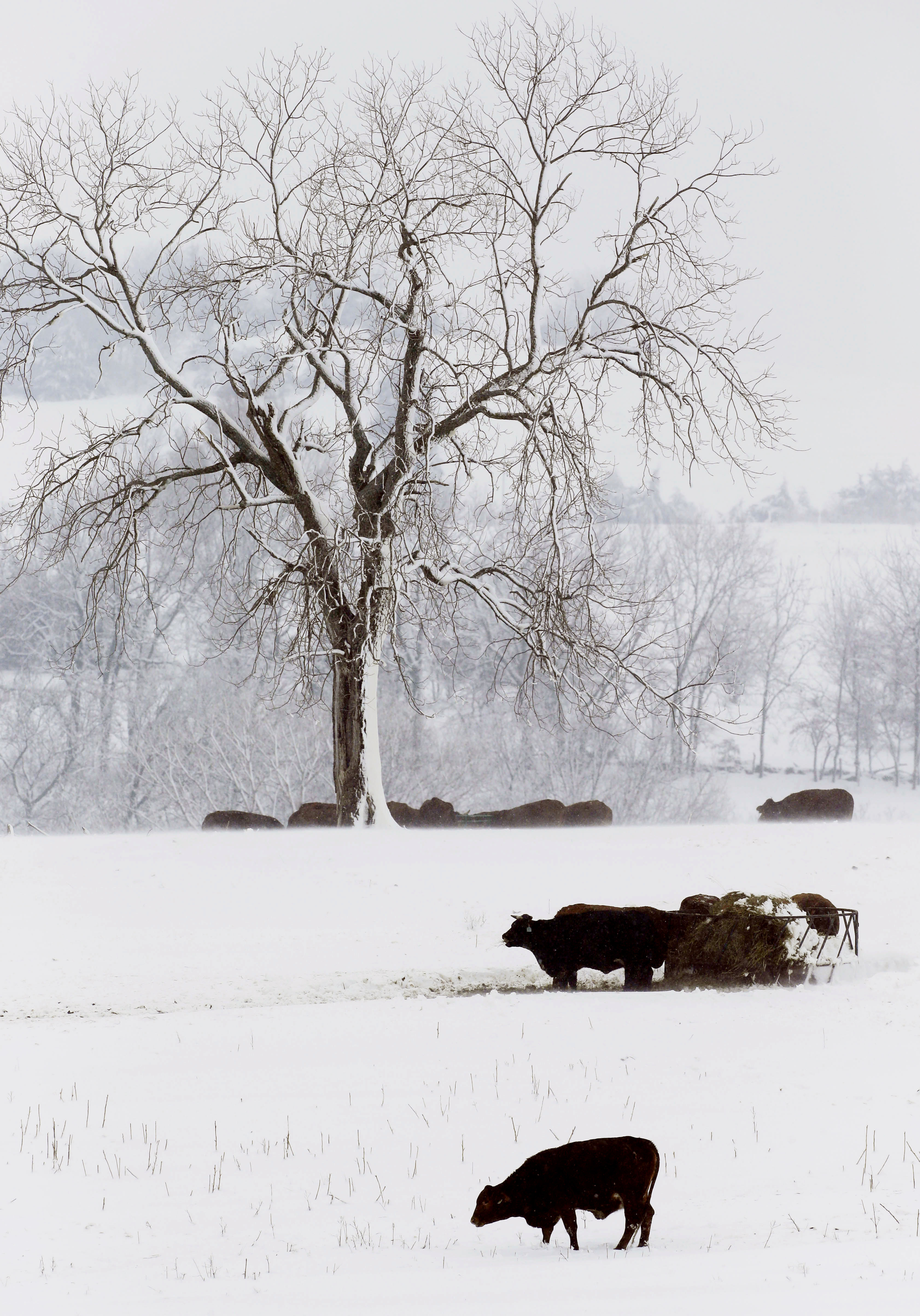
ST. LOUIS – Recent rain and snowstorms have eased the grip of the worst U.S. drought in decades in portions of the nation’s midsection, swelling some major inland rivers to near flood stage and drenching some farmland enough to possibly delay fast-approaching spring planting.
But climatologists caution that the moisture – a blessing after a disastrous, bone-dry 2012 across much of the nation’s Corn Belt – doesn’t signal the end of the stubborn drought still with a hold on more than half the continental U.S.
What happens in the next couple of months, they said, could be more telling. That’s when the frozen ground will thaw and water that had been running off into the Mississippi or Missouri rivers and their tributaries could sink in.
The latest precipitation “is certainly helping, because a lot of it is falling in the heart of the worst drought areas,” National Climatic Data Center scientist Mike Brewer said Monday. “It’s helping to mitigate the impacts of the drought (by helping fill farm ponds and reservoirs), but it’s not necessarily helping the agricultural side of things right now. It’s not getting into the soil, where it needs to go.”
Right now, he said, “you have that persistent blob of exceptional drought hanging out over the Plains.”
But it appears to be a blob that’s shrinking, ever so slowly. Just over half of the continental U.S. remains in some form of drought – the lowest level since last June and down 12 percentage points from the drought’s peak in September.
The Mississippi River has been rising after sinking so low that barge traffic from St. Louis south about 180 miles to Cairo, Ill., had been threatened. Two snowstorms and a drenching rain now have some stretches of the Mississippi approaching flood stage. The National Weather Service said Monday the river was at 24.3 feet in Clarksville, Mo. – less than a foot below technical flood stage – and expected to rise to nearly 2 feet above flood stage by Wednesday. Clarksville is about 70 miles north of St. Louis.
Smaller rivers also are swelling. The Wabash River this week is projected to rise a foot or two above flood stage from Covington, Ill., to Terre Haute, Ind., while the Skunk River near Sigourney, Iowa, has risen 14 feet since Saturday and is now 2 feet above flood stage. The Blackwater River near Valley City, Mo., is up 21 feet since Friday and is nearly 6 feet above flood stage.
Several roads, including a few state ones, are closed across portions of Missouri, Illinois, Iowa and Indiana, and thousands of acres of farmland are flooded, though no major damage is anticipated. Most of the water is expected to recede quickly because no significant rain is in the forecast over the next week or so, said Mark Fuchs, a hydrologist with the weather service near St. Louis.
Still, he said, the precipitation has ended concern about the drought in parts of Missouri, given that “really for the last month we’ve been well above average precipitation and catching up in a hurry.”