Light snow falling today, 1 to 3 inches likely tonight
A winter weather advisory has been issued for 1 to 3 inches of snow in lower elevations of the Spokane region by Saturday morning.
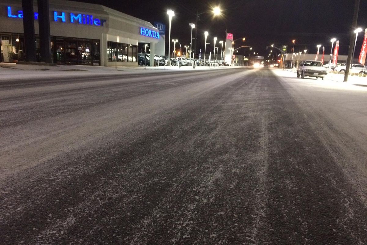
A dusting Thursday night in the Spokane region caused few problems Friday.
Snowfall through the day on Friday left an inch of snow on the ground at Spokane International Airport.
But the lingering winter storm is expected to bring additional snow to the region through the weekend.
Following Friday night’s expected snow, another 2 to 3 inches are expected Saturday night and Sunday in Spokane from a storm that is bringing a series of waves of snowfall.
The total by the end of the weekend could be as much as 4 to 6 inches, forecasters said.
Even more snow is likely in North Idaho. Coeur d’Alene and other locales in North Idaho could see 3 to 4 inches Friday night and another 4 to 6 inches by Monday morning.
Mountain areas are likely to see a foot of fresh powder or more, and valley locations next to the mountains may see upwards of a foot of snow through the weekend in North Idaho.
A frontal system to the south of the region was supplying moisture for Friday’s snowfall.
A connected low pressure area in the Gulf of Alaska was expected to move onshore over the weekend, creating the chance of accumulating snow.
Only about a half inch of snow fell overnight at Spokane International Airport. The same winter storm affecting the Inland Northwest was causing travel problems across the region. In Portland, flights to Spokane were being cancelled as a result.
In the Columbia Basin, areas of freezing drizzle were reported. The drizzle could result in icing conditions similar to freezing rain, forecasters said.
A warm front draped over the Oregon-Washington line was creating conditions for mist and drizzle falling into freezing temperatures at ground level.
The area of concern was centered around Moses Lake but covered an area from the Columbia River on the west to the Spokane-Lincoln county line on the east and as far north as Coulee City.
While arterials were generally clear this morning, continuing snowfall was expected to create widespread slippery conditions.
Through 4 a.m. the airport had four-tenths of an inch, said Steve Bodnar, National Weather Service meteorologist. Only light snow has fallen since. About a quarter of an inch fell in downtown Spokane from 10 a.m. to noon on Friday.
Some locations to the south of Spokane had more snow, Bodnar said. Lewiston had 1 1/2 inches overnight.
The Washtucna School District reported a two hour delay to the start of school.
Spokane’s temperature at noon was 19 degrees with a northeast wind of 9 mph, creating a wind chill of 8 degrees.
Traffic on Interstate 90 over Snoqualmie Pass was moving over snow and ice. Travel was taking an extra 30 to 38 minutes between Ellensburg and North Bend.
Lookout Pass to the east was snowy, but traction was considered good, according to the Idaho Transportation Department.
Some light mist was falling at the airport along with the snow.
Another blast of arctic air and wind is expected early next week. Lows could approach zero degrees by Wednesday morning in Spokane with highs in the teens.
KHQ WEATHER FORECAST FOR FRIDAY, DECEMBER 9: