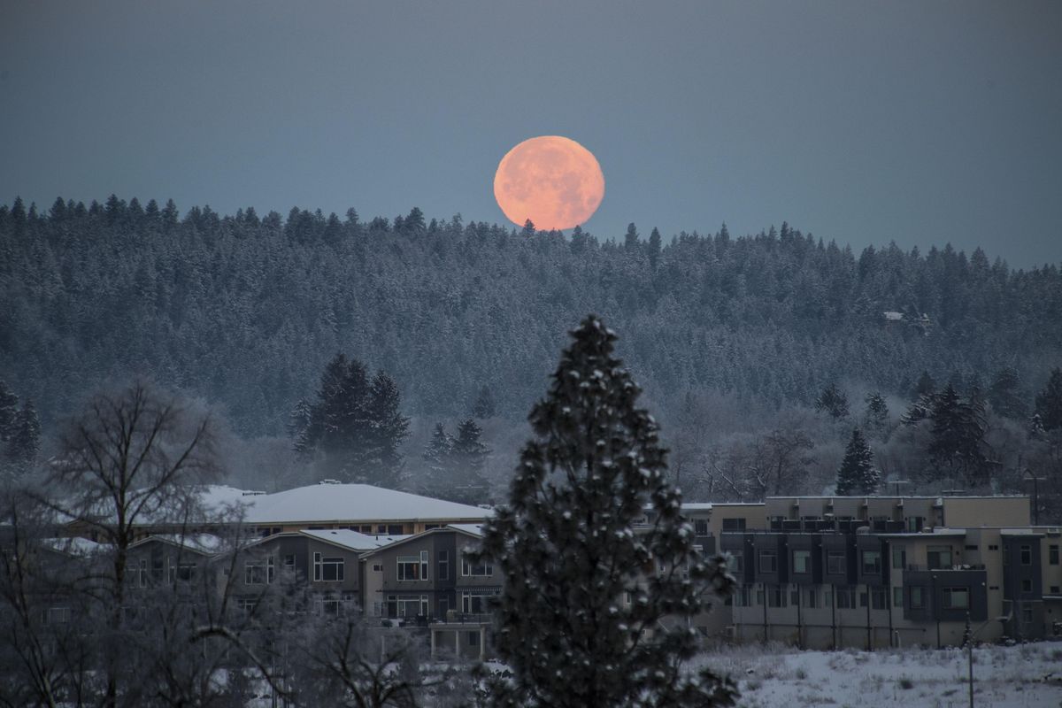
Temperatures remained above zero in Spokane overnight; Coeur d’Alene fell to minus 4

The march of arctic air into the Inland Northwest this week is getting reinforced starting Thursday night with a new push of frigid cold.
A Pacific storm that grazed the Spokane area and passed to the south provided a brief pause in the single-digit misery.
Forecasters are calling for a high on Thursday of 20, followed by more arctic cold. Spokane can expect lows of 3 Thursday night; minus 8 Friday night; and minus 3 on Saturday night.
The temperature fell to 2 degrees Wednesday morning at Spokane International Airport.
Temperatures in Spokane have not hit zero or below for more than two years.
The last time the city saw a reading below zero was on Feb. 6, 2014, when it fell to minus 5, said Andrew Kalin, National Weather Service meteorologist.
Some areas saw below-zero lows by dawn Wednesday, including Coeur d’Alene at minus 4 and Deer Park at minus 6, Kalin said.
Snowfall amounts of 2 to 4 inches were expected overnight Wednesday in the Palouse region, and even more was expected in the Central Panhandle mountains, Walla Walla and the Tri-Cities areas.
For the Spokane region, the next big shot of snow was expected Monday night into Tuesday. A mild Pacific system with lots of moisture could move inland and combine with the cold air from the north to produce moderate to heavy accumulations. However, forecasters cautioned it is only a possibility as of Wednesday afternoon.