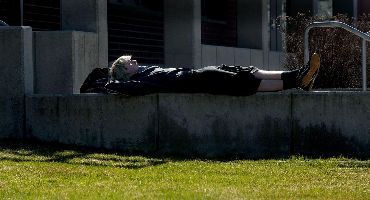
As spring arrives temperatures could hit 60

A weekend warmup and bright sunshine will herald the official arrival of spring on Saturday.
Spokane may see its first 60-degree readings of the year on Sunday, according to the National Weather Service.
A system of higher air pressure has settled over the region and will push temperatures for a few days.
Spring arrives with the equinox at 9:30 p.m. Saturday – when day and night will be equal in length.
Sunday should be distinctly springlike, with highs of 59 in Coeur d’Alene and 60 in Spokane, though the chance of rain increases as the day goes on.
The weekend starts out with a winter feel, with pre-dawn temperatures Friday expected to plunge to the mid-20s in Spokane and Coeur d’Alene.
Sunshine will take the chill off the air by afternoon, though, when highs reach the upper 40s in Coeur d’Alene and lower 50s in Spokane.
Saturday may bring the nicest weather, with mostly sunny skies and highs in the middle and upper 50s.
Rain is likely overnight Sunday and continuing into early next week.
Precipitation at mountain pass altitude should be snow again by Tuesday.
The mountains have plenty of snow. Snowpack readings earlier this week stood at 88 percent to 144 percent of normal across the Inland Northwest.
Maximum mountain snowpack is typically reached around April 1.
This year’s strong El Nino, or warming of the tropical Pacific, has led to higher-than-normal precipitation in Spokane.
Since Oct. 1, the city has received 11.85 inches of precipitation, which is more than 2 inches above average.