Snow falls, then quickly melts in some parts of Spokane
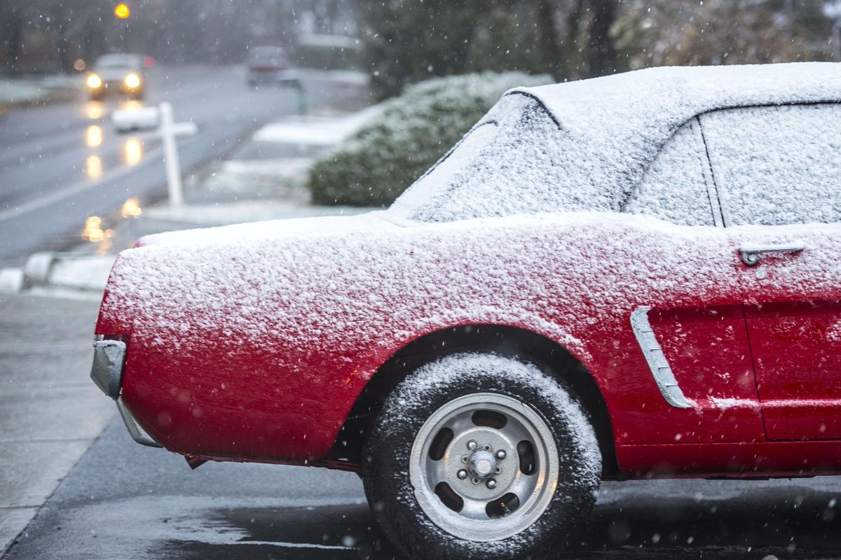
Snow fell over a wide swath of the Inland Northwest Wednesday and quickly melted at lower elevations.
The fast-moving system scooted across the region just as workers in Spokane were getting started for the day.
Some streets had snow stick to them at elevations above 2,200 feet.
Spokane International Airport recorded 0.7 inches of snow.
The weather service office northwest of Airway Heights had 0.6 inches of snow.
In 2015, the city also saw its first measurable snow on Nov. 16.
Snowfall did not stick in lower elevations of the urban areas, but the wet flakes were seen in the downtown area.
By 8:30 a.m., the rain had turned to snow even in downtown Spokane, which is 1,850 feet in elevation.
The Spokane airport is at 2,372 feet.
Forecasters said it was a typical event for the first snow of the season with lots of excitement but little impact, at least at lower elevations.
Sherman Pass had a coating of new snow that was clearing off by Wednesday afternoon.
Mt. Spokane Ski and Snowboard Park tweeted, “THE SNOW DANCES ARE WORKING!!!”
The resort reported 4 inches of new snow Wednesday morning with a temperature of 28 degrees.
Lookout Pass ski area reported 3 inches of new snow.
Snow is expected to continue off and on at higher elevations through the weekend.
In lower elevations, another round of rain and snow showers could arrive Thursday with snow in the mountains.
A short weather break with higher air pressure should arrive on Friday, but showers return over the rest of the weekend.
Fog is a threat for Thursday night and Friday because of calming weather and ample moisture in the air.
Highs in Spokane should be in the 40s with lows ranging from the upper 20s to middle 30s through the weekend.