“Wintry mess” heading to Inland Northwest before snow melt begins

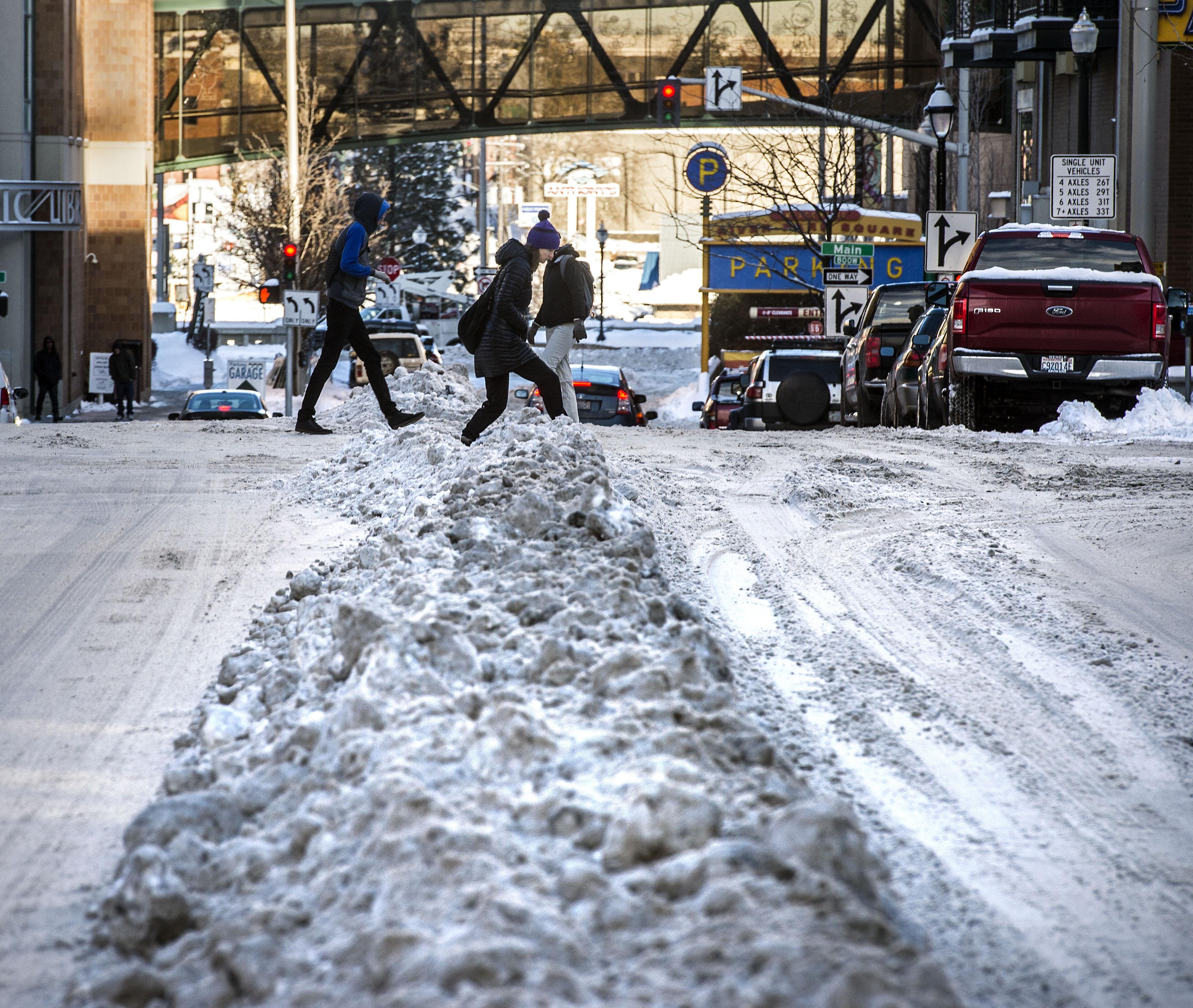
The National Weather Service is expecting a “wintry mess” across the Inland Northwest Tuesday and Wednesday, leading to heavy ice accumulations and slick roads.
The weather service issued a freezing rain advisory in effect from 9 a.m. to 4 p.m. Tuesday across Eastern Washington and the Idaho Panhandle. About 6 more inches of precipitation, which may be rain, sleet, snow or a combination, is expected to begin Tuesday evening.
Ice accumulations are forecast to be heaviest in Central Washington, near Wenatchee, Chelan, Moses Lake and Grand Coulee. In the Spokane region and in North Idaho, ice should be lighter.
Tuesday will also begin a period of warmer temperatures in the area, with highs in the mid-30s to low 40s for much of the week. Snowmelt may lead to ice jams and flooding in Kootenai County, the county’s Office of Emergency Management warned last week.
Precipitation will shift to rain Wednesday and Thursday, the weather service said.