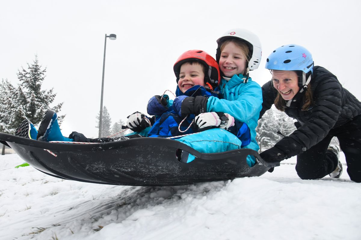
Spokane awakes to icy roads Thursday after winter storm brings up to 3 inches of snow

One of the largest accumalations of snow in this decidedly mild winter arrived Wednesday.
The mixture of snow and below-freezing temperatures combined to create hazardous road conditions in some areas of Spokane Wednesday night and Thursday morning – notably on residential streets and intersections near downtown, where large sheets of ice stuck around. Along highways, Interstate 90 and city arterials and hills, however, the roadways were mostly bare and wet after snowplows worked throughout the night.
The City of Spokane tweeted Wednesday afternoon and again this morning that plowers and de-icers were focusing on hills, arterials, bridges and school routes. Still, several accidents were reported as drivers struggled to navigate slicks roads.
Jeff Sevigney, spokesman for the Washington State Patrol, said the majority of weather-related collisions on highways and Interstate 90 happened Wednesday evening when people were driving too fast for conditions. There were no fatal or serious-injury collisions reported.
“It was busy,” he said. “Mostly just folks sliding off the roadways.”
Mountain passes, meanwhile, remained mostly bare and wet.
To the west, Snoqualmie Pass had no restrictions Thursday morning, with rain showers expected throughout the day. Snow and rain mix should hit the pass on Friday and Saturday. Stevens Pass advised traction tires, with snow and ice on the roadways with more snow expected to fall Friday and Saturday.
To the east, Fourth of July Pass had some icy patches. Only fog was expected for the remainder of Thursday. Lookout Pass east of Mullan had slush on the roadway, with another half of an inch of snow expected to fall Thursday.
The National Weather Service in Airway Heights reported that Spokane saw about 2.5 inches of snow when flakes started hitting the ground at around 2 p.m. and continued for several hours. At the Spokane International Airport, 2.8 inches, and in Coeur d’Alene around 2 inches.
It was the first major snowfall to hit the region since Dec. 10 and 11, when about 3.5 inches fell, according to weather service data. So far this winter season, Spokane has seen 12.6 inches of snow fall – about 8 inches under the average, and 42 inches under the record set in 1996 when 54.7 inches of snow had accumulated by this time in December.
National Weather Service Meteorologist Joey Clevenger said to expect another 1 to 2 inches of snow Friday night, before temperatures rise Saturday and rain begins to fall.