Nuclear tests monitored at Newport’s mega-hazard geophysical observatory
NEWPORT, Wash. – When North Korea conducts a nuclear bomb test, a collection of sensitive instruments tucked into a forested bunker in northeast Washington detects it and sends the data around the world.
That’s just one of the megahazard monitoring missions of the Newport Geophysical Observatory near Bead Lake, 10 miles from Newport in the Colville National Forest. For more than 50 years, the site has served as a vital signs monitor on an emergency room patient.
Since the planet is linked by a web of invisible electromagnetic, seismic and infrasound-wave connections, a handful of monitoring sites in remote locations are used by scientists to record them. This allows them to watch and study world hazards like nuclear tests, earthquakes, tsunamis and geomagnetic storms.
“It’s located here for a reason,” said Jeff Love, senior scientist for the U.S. Geological Survey, which operates the observatory that was built in 1966. “It’s quiet, magnetically flat and data has been collected here for a long time.”
It’s akin to the other 14 sites in the country used for data collection by the USGS and other scientists.
The USGS has a special-use permit for the 35 acres until 2041. The agreement also prohibits development and activities such as mining on the surrounding 640 acres. Cross-country skiing, horseback and bike riding and other nonmotorized activities are permitted.
Nuclear tests atop hazards list
The top priority had been monitoring nuclear tests, from the scary days of the Cold War with the former Soviet Union to today’s threats from countries developing nuclear weapons.
“It is a designated nuclear monitoring site,” said Carol Finn, geomagnetism group leader for the USGS/Geologic Hazards Science Center in Golden, Colorado, which monitors the facility remotely via satellite and fiber-optic connections.
She said information is sent to the U.S. Department of Defense and the Vienna-based international Comprehensive Test Ban Treaty Organization. Some data are available continuously on their website for researchers.
The latest North Korean test was easy to detect and locate. With a blast yield of 160 kilotons, the hydrogen bomb test mimicked a major earthquake. It was quickly linked to North Korea’s nuclear test site. By comparison, the bomb dropped on Hiroshima was around 15 kilotons.
It’s hard to tell what goes on at the geophysical observatory by just looking at it; it doesn’t look like a well-financed gleaming NASA laboratory or high-security military installation.
A half-dozen small buildings are spread over the flat, tree-covered 35 acres. Paved roads and sidewalks link the buildings. A low fence marks the boundaries. People can see the area from the Forest Service trail that runs outside the south fence.
Some activities during the facility’s 50-year history could be scenes from a disaster movie, such as when tsunamis and earthquakes bounced instruments outside their screen limits. Or when extreme solar storms caused geomagnetic storms on Earth, sending graphs on computer screens skyrocketing and scientists huddling to see if the electric grid would collapse.
“People come to ask for tours,” said Jim McFall, the facility caretaker. “Not much to see.”
He and his wife, Jeanne, have lived in a house on the site for the past eight years.
They don’t give tours, Finn said. That’s not because there’s anything secret going on, but because they don’t want to disturb the sensitive equipment.
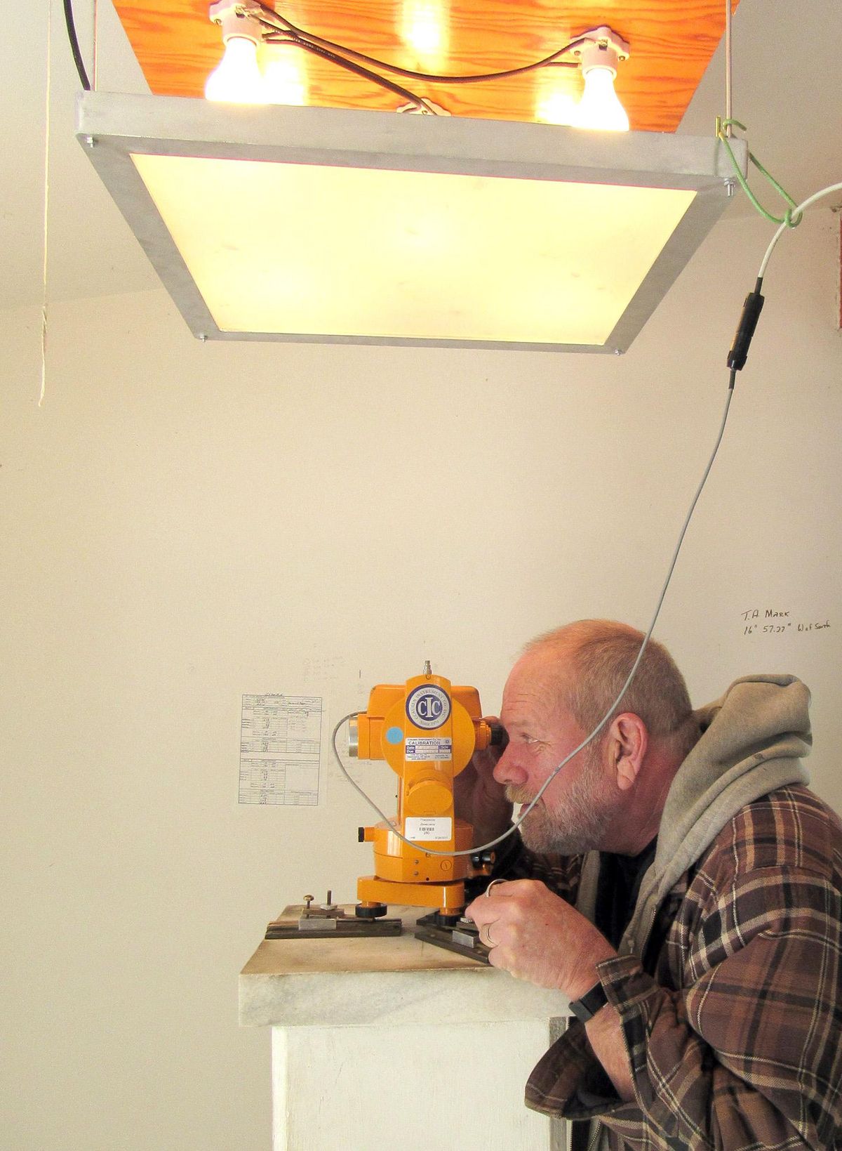
Each small building houses either a few computers, small instruments or electronic pieces that look like old stereo equipment wired together in a college dorm room. There is also a collection of used equipment among a tangle of wires and plastic pipes.
The vault in the side of the hill extends about 20 feet, with a small room that houses the sensors that go into the ground. Some of these buildings were designed when computers were large and more people had to have space to monitor them.
“One guy did stop to talk, and said he had visited three of the (geophysical observatory) sites and planned to visit all 14,” McFall said.
McFall was a truck driver living in Spokane before taking this job. He said he’s still trying to understand the technical language used by the scientists and technicians he deals with, but sometimes they use another language.
McFall pointed out the many deer inside the fence and said there is an elk herd that frequents the site. He also has seen a bear on top of the hill above the concrete entrance to the underground vault.
Since all the test stations are monitored remotely via satellite and fiber-optic connections, scientists and technicians only come several times a year, McFall said.
He said researchers from the University of Alaska have been the most recent to work at the site. They are resetting a satellite communications dish.
McFall and another local employee do manual tests of the instruments, along with maintenance crews.
Geomagnetic storm threats
Love, the senior USGS scientist, said the biggest research project presently involves geomagnetic data collection.
Scientists are studying geomagnetic storms capable of knocking out the country’s power grid for long periods of time.
A severe geomagnetic storm could disrupt the grid for months, potentially leading to widespread blackouts. Damage and disruption from such an event could cost more than $1 trillion, with full recovery taking months or perhaps years, according to studies.
In 1989, a huge cloud of solar material exploded from the sun. When the cloud reached Earth, it set off a chain of events in near-Earth space that ultimately knocked out power to Quebec for about nine hours.
Though they hit Earth often, such solar events are unusual. Scientists want to make sure the country is prepared for the next one.
The Newport observatory also has an infrasound-monitoring instrument. Infrasounds are acoustic waves with very low frequencies not audible to people.
Infrasound is produced by a variety of natural and manmade sources, including volcanic eruptions, earthquakes, meteors, storms and auroras in the natural world; nuclear, mining and large chemical explosions, as well as aircraft and rocket launches.
The first observation of naturally occurring infrasound ever recorded using instruments was in the aftermath of the 1883 eruption of the Krakatoa volcano in Indonesia. Infrasonic waves that circled the globe at least seven times shattered windows hundreds of miles away and were recorded worldwide.
Infrasound can cover long distances with little dissipation, which is why infrasound monitoring is a useful technique for detecting atmospheric nuclear explosions.
Newport and other infrasound monitoring stations are part of the CTBTO’s global alarm system to monitor the Earth for nuclear explosions.
The Soviets are coming
Newport’s observatory entered the world stage in 1990.
The observatory was designated one of three observation stations in the late Cold War test-ban treaty between the United States and the Soviet Union.
At the time, former U.S. Sen. Slade Gorton of Washington said, “This put Newport, already known to many in Washington as the city of flags, squarely on the international map. The residents of Newport should take pride in making this significant contribution to world peace.”
Soviet monitoring equipment was set up in a trench adjacent to the USGS underground vault. Soviet technicians would use this equipment to monitor U.S. tests in Nevada to ensure they were within the treaty limits.
McFall said the area where the Soviet building and equipment were located is visible, but everything has been removed. It had been fenced, with a Soviet flag raised over the site, when they were there.
The Soviets designated three sites in their country for American observers to record their nuclear tests.
Newspaper reports before the first Soviet visit said U.S. officials would not discuss the Soviet visits. But after pressure from the Newport Chamber of Commerce and leaders, a brief ceremony was held on the front lawn of Newport City Hall. Soviet officials and the mayor raised a Soviet flag and gifts were exchanged.
The group stayed at a Newport motel and the FBI installed video cameras aimed at their rooms. Agents watched from the laundry room.
They went to the observatory several times to check their equipment and make sure the U.S. government didn’t tamper with it. The Cold War ended a few years later, and the equipment was removed.
The observatory was first a part of the Pacific Seismic Sea Wave Warning System under the Coast and Geodetic Survey.
It was one of 14 stations in the world and part of an observation triangle with stations in Alaska and Hawaii for tracking deadly tsunamis, or seismic sea waves caused by earthquakes.
Three geophysicists living in houses on the compound with their families monitored the sensitive geomagnetic and seismic equipment stored below ground in a vault.
Only one house remains, and many of the buildings have been removed over the years as technology changed.
“We can record a deer walking across the top of the vault,” resident geophysicist Bud Odell said in 1977.
Sensitivity to the outside world hasn’t changed, McFall said. He said scientists send him a message from Colorado sometimes when they detect him walking around the buildings.
But satellites and electronics quickly outdated the vacuum tubes and wire communications used to relay data and eventually reduced the observatory to an unmanned site in the late 1980s.
Newport isn’t in a seismic area itself. The station has always been more useful for recording very distant earthquakes and those in the Puget Sound region.
Recreation area
Most people today will associate the site with the recreation area surrounding it named Geophysical.
This popular Nordic trail system offers rolling terrain with a few steep pitches through stands of Douglas fir and ponderosa pine. The trails are groomed weekly during the winter months and are part of the Washington State Sno-Park System.
The trails also are used by mountain bikers and horseback riders.
Geophysical is open year-round.
To download a map, go to parks.wa.gov/winter.