Storm causes outages to the north, but Spokane’s dusting was hit-or-miss

Lengthy power outages are expected in areas north of Spokane after snow and wind formed a destructive duo on Friday.
The fickle storm dropped nearly a foot of snow in areas of Stevens County, but left hardly a flake in downtown Spokane.
In a press release issued Friday afternoon, Avista said customers in Colville and northern Washington should prepare to be without power for up to one to two days.
Outages were scattered throughout northern Washington and impacted thousands of utility customers. An estimated restoration time was not immediately available on Friday.
The storm’s impact varied greatly depending on the elevation it passed over.
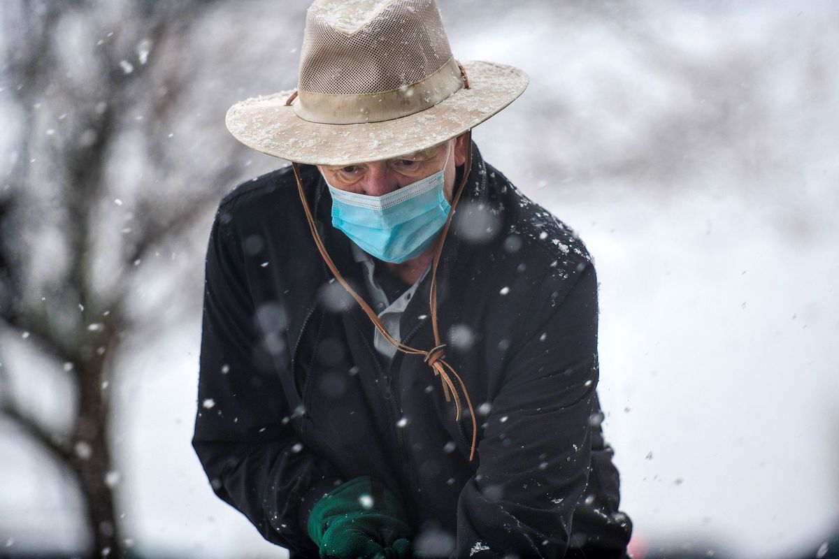
Heavy, wet snow blanketed parts of Spokane and complicated commutes on Friday morning, but forecasters said it could have been worse.
Interstate 90 was briefly closed in both directions just west of Spokane at the interchange with Highway 2 due to an active power line that fell across the road, but has since reopened, according to the Washington State Department of Transportation.
Temperatures stubbornly held above freezing in lower-elevation parts of the Spokane area and the amount of moisture in Friday’s storm was less than expected, prompting meteorologists to drop their initial snow forecast a tick.
Still, the National Weather Service in Spokane reported snow accumulation of more than three inches at Spokane International Airport by midmorning. It also received unofficial preliminary reports of seven inches in Metaline Falls and Chewelah, and a whopping 11.3 inches in Loon Lake.
Downtown Spokane, which sits at a lower elevation, received steady rain through most of the morning.
“The temperatures this morning were a bit more mild than we expected yesterday,” said Steven Van Horn, a meteorologist with the National Weather Service.
It was still enough to cause delays and closures for some area school districts. Loon Lake, Chewelah, Wilbur and Kootenai and Almira School Districts were all closed on Friday. Gonzaga University planned to open after a one hour delay, according to KHQ.
Snow is transitioned back to rain in the Spokane area through the late morning and into the afternoon, but forecasters cautioned the mountain passes would remain treacherous.
Whiteout conditions gripped Snoqualmie Pass on Friday morning. The eastbound lanes just west of the summit were temporarily closed as crews worked to clear cars that had spun out at about 8:30 a.m., according to WSDOT.
After a warming Friday, temperatures are expected to drop below freezing again overnight, potentially creating icy and slippery roads.
The precipitation will be followed by strong winds, which between Friday afternoon and Saturday could reach up to 40 miles per hour for Spokane and areas south, including the Palouse.
Saturday and Sunday Spokane will see light rain, the Spokane National Weather Service predicted. Saturday will start fairly dry before rain and potential snow comes in around 4 p.m., with temperatures in the thirties but hovering above freezing, said National Weather Service meteorologist Mark Turner.
Turner said there is unlikely to be any snow accumulation over the weekend, as Sunday will warm up into the mid and upper forties. Sunday afternoon and evening will bring a break from the rain before another round comes in early Monday morning.
Reporter Maggie Quinlan contributed to this report.