This column reflects the opinion of the writer. Learn about the differences between a news story and an opinion column.
Getting There: Help Spokane choose the path between Fish Lake and Centennial trails
It’s red versus blue, and your vote matters.
No, this isn’t yet another national election between two wilting men.
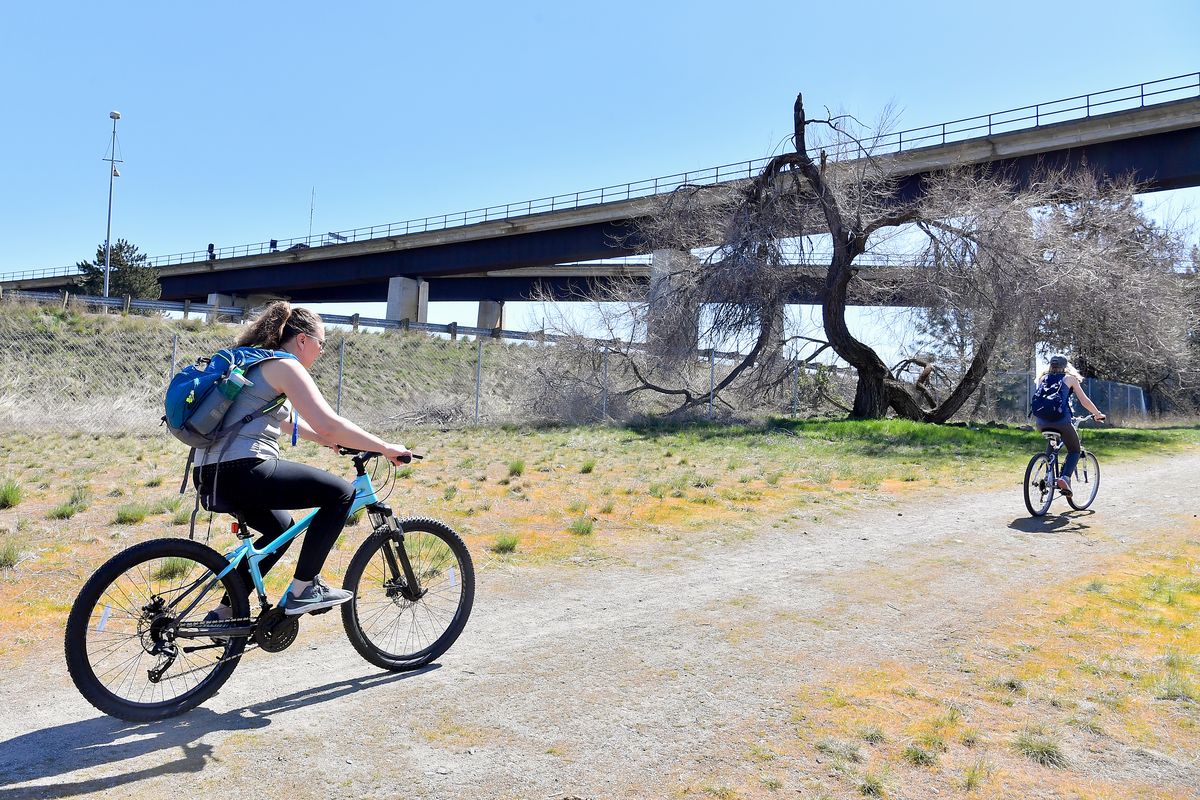
The city of Spokane is asking for residents’ input on two choices for a new path that will link the Centennial Trail with the Fish Lake Trail in West Spokane.
Although the two trails are separated by a short distance as the magpie flies, they remain unconnected. Bridging the two together would effectively add a nearly 10-mile southward spur to the Centennial Trail, or allow those riding the Fish Lake Trail direct access to the 65-mile Centennial Trail between Nine Mile Falls and Coeur d’Alene.
The challenge is to create a link between the Russ Sandifur Bridge, which connects People’s Park to the Centennial Trail, and the Fish Lake Trailhead near the intersection of Lindeke and West 9th Avenue.
Easier said than done, as major roadways, buildings and parks sit between the two points.
The city has worked with a consulting firm for about the past year to draft a set of options.
They came up with four potential routes, but due to their relative feasibility and cost, only two have been recommended, city officials explained last week to the Spokane City Council’s Urban Experience committee.
The city has launched an online survey to gauge the public’s response to each. It will be open until April 30 and can be accessed through the city’s website and social media pages.
Starting from the Fish Lake trailhead heading north, the “red” route on the city’s proposed map would cross Sunset Boulevard and closely follow Government Way before veering east into a switchback in the northwest corner of the Spokanimal Dog Park at High Bridge.
“This would impact part of the dog park. It’s a less-used area; it’s where you can kind of climb up the hill with your dog and go up in the trees and go for a little hike,” Inga Note, senior traffic planning engineer for the city of Spokane, explained to the City Council.
From there, the trail would cross Riverside Avenue – either by overpass or at street level, depending on the final design – and then follow a new bridge over Latah Creek to land in People’s Park.
The cost would be between $7.5 million and $9.5 million.
Government Way would be restriped and reduced from four lanes to three so that it could accommodate the trail. There’s a path already there, but it’s directly adjacent to the street, Note said.
“We need to repurpose a little bit of that space to provide the buffer between the traffic lanes and the trail,” Note told the council.
The “blue” route won’t win any fans based on cost alone, which is estimated at $11.8 to $14.5 million.
But the blue option takes a route that separates from major roadways, splitting east immediately from the Fish Lake trailhead along 8th Avenue. After switching back beneath a railroad bridge, the trail would duck beneath the iconic Sunset Bridge and into High Bridge Park.
The trail would cut through the park’s disc golf course, but Spokane Parks and Recreation has said it could be realigned, Note said.
From there, the trail would bridge across Latah Creek and then cross Riverside Avenue near the intersection with Clarke Avenue before reaching People’s Park.
The extra cost of the blue route is largely due to the construction of walls that would be needed to shore up erodible soils along the route.
The other two routes considered had their benefits, but both far exceeded the costs of the red and blue routes and required building beneath Interstate 90.
The city’s project consultant and Park Board agreed that the red route, which runs along Government Way, is the best fit.
Once a route is selected, the city has money in hand to fund a 30% design of the trail. That would be used to apply for a grant to fund the project in spring of 2022.
Sprague Avenue
Long-awaited construction on Sprague Avenue will begin on Monday, forcing a total closure of the street between Grant and Division streets.
The $3.8 million project is the final phase of the city’s yearslong effort to rebuild Sprague Avenue.
The project was originally slated to wrap up last year, but city officials opted to delay it due to the pandemic and the harm it could have on struggling businesses.
This year, city officials are imploring people to continue to support Sprague Avenue businesses, which can still be accessed by First Avenue or an alley north of Sprague Avenue between Grant and Cowley streets.