Google mobilizes Street View to map, photograph backcountry trails
TRAIL MAPPING -- Soon you'll be able to look intimately at a trail on your computer or smartphone before launching out to hike, bike or ride a horse on it.
Google has begun applying it's Street View technology to the backcountry.
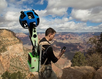
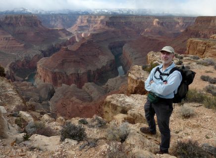
In its first official outing, the Street View team is using the Trekker—a wearable backpack with a camera system on top (see video above)—to traverse the Grand Canyon and capture 360-degree images of the breathtaking natural landscapes.
Google staffers have been hiking with the Trekker to capture portions of the South Rim at Grand Canyon National Park, as well as the famous Bright Angel Trail, and South Kaibab Trail.”
Google said the new imagery would soon be making its way to Google Maps.
See details on the project in this report from the Associated Press.