Now’s the time to map out next year’s hiking adventure
TRAILS -- Now's the time to plan next year's major backpacking excursions for more reasons than one.
Permits need to be secured in some cases, and if the trip is in the West, now's the best time to buy specially designed topos from Green Trails Maps.
The company is offering FREE SHIPPING on map orders through Dec. 15 from its Web Store.
While they are based on USGS topograhic maps, Green Trails maps are better for hikers because they are enhanced with on-the-ground research to detail trails and trail mileages.
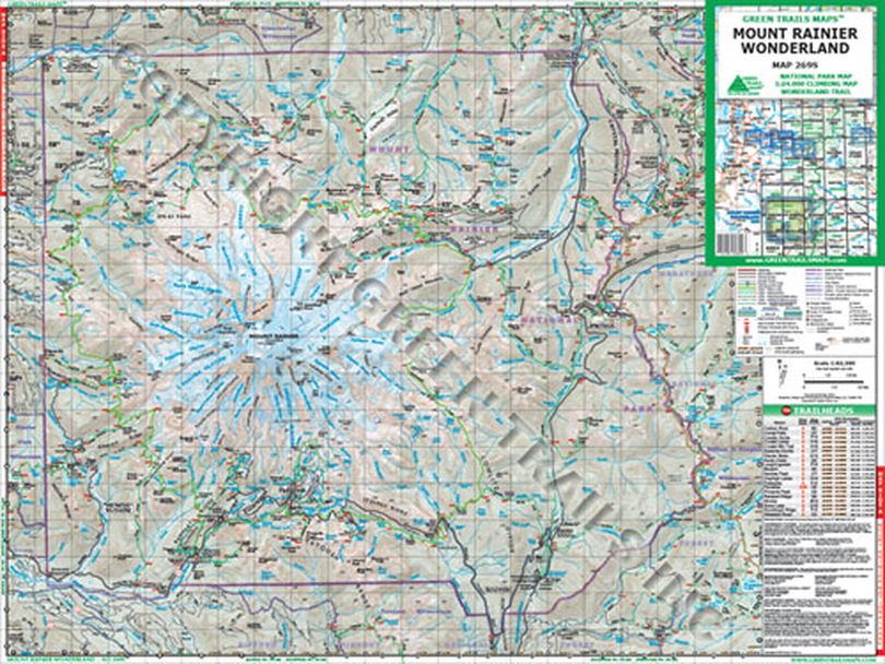
Founded in 1973, Green Trails doesn't cover every place you might want to go. But the 140 or so topographic recreation map titles the company has chosen to publish cover the most spectacular mountain, beach desert areas North America, including Washington and Oregon's Cascade Mountains, the Olympic Peninsula, Mount Rainier's Wonderland Trail and western wilderness areas.
Green Trails maps show the most current trail, road, and access information to national forests, national parks, state and local parks, and other public lands in a clear, compact and convenient format and scale.
Some of the most recently revised Green Trails maps include the Goat Rocks Wilderness, Alpine Lakes/Stevens Pass and Columbia Gorge East.
