Wildfire access restrictions being lifted in some forests
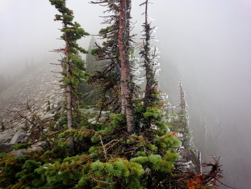
WILDFIRES -- Public access to more public lands in North Idaho is being restored starting Wednesday, Sept. 9, after rain and snow wet down much of the Inland Northwest over the Labor Day weekend.
Private timber company land closures are still in effect, apparently, and there's been no word so far of new changes in closures on the Colville or Okanogan-Wenatchee National Forests.
Some restrictions were lifted and areas reopened late last week -- See post here.
Lake Roosevelt National Recreation Area has reopened virtually all campgrounds, boat ramps, and day-use areas with the announcement that Snag Cove, Kamloops Island, and Kettle River in the North District of the park will be accessible again starting tomorrow. Napoleon Bridge boat ramp will remain closed until Sept. 11 to allow fire crews remove their equipment from the area.
Here's the just-posted release on reopenings from the Idaho Panhandle National Forests.
Federal land managers, in conjunction with the State of Idaho, are modifying temporary emergency wildfire closures in order to significantly reduce the size of the closure areas effective 12:01 a.m. on Wednesday, September 9, 2015. Cooler temperatures and recent precipitation have tempered fire activity across the forest and have allowed fire managers to reduce the size of many closure areas. Some of the most significant emergency closure area reductions are for the Coeur d’Alene River and St. Joe Ranger Districts. The modified closure areas improve public access to much of the forest, but will remain in place to provide for public and firefighter safety until further assessments determine the areas are safe to completely reopen.
“The weather has finally brought some rain and cooler temperatures, which means fires are less likely to spread aggressively,” said Mary Farnsworth, Forest Supervisor. “Under these conditions fires are more manageable and we are able to reduce the size of emergency closure areas while still providing an adequate buffer for public safety.”
Although the much needed moisture has slowed the fires’ spread, the fires are not out yet. Farnsworth said the fires are expected to burn until additional rain or snow puts them out. Until then, Forest Service fire crews will continue to closely monitor these fires and take action to safely contain them whenever possible. Smoke will continue to be seen in these areas until enough moisture arrives to fully extinguish the fires.
Reducing the closure perimeters makes it particularly important for forest visitors to be aware of their surroundings and their proximity to the wildfires or burned areas. Although recent moisture has moderated fire spread for now, the warmer weather forecasted for the week could cause hot-spots to flare up and spread, posing a hazard to the public. In addition, many other hazards still exist in burned areas such as burned-out trees (or snags) that may fall at any time, stump holes, deep hot ash, and unstable soils causing rolling debris. Traveling on forest roads pose additional risks associated with increased firefighter traffic, heavy equipment working in the area, and the onset of hunting season.
When entering previously closed areas forest visitors may encounter changed conditions and are strongly urged to avoid lingering in burned areas or traveling on wildfire control lines. Although there may be new dozer line in the forest, these areas remain closed to motorized use. Visitors should refer to the forest’s Motor Vehicle Use Map (MVUM) when traveling on forest roads. A free map can be picked up at your local district office.
For information on the modified closure areas, including maps and closure orders, visit the Idaho Panhandle National Forests homepage.
