Wicked winter weather on the way
Spokane area may get more than foot of snow
A major snowstorm is expected to hit Western Washington on Wednesday, piling between six to 12 inches of snow in Seattle and other lowland areas, the National Weather Service said Monday. Oregon got its first major dose of winter weather Monday as well, with forecasters predicting more on the way.
“It’s a juicy storm,” said Danny Mercer, a meteorologist with the National Weather Service in Seattle. “It’s not going to be hit and miss. It’s going to be filling in everywhere, picking up and being quite heavy everywhere.”
The National Weather Service issued a winter weather advisory for the Spokane region Monday, predicting 3 to 5 inches of snow to fall by tonight.
The weather service predicted a second storm will then move into the area Wednesday and drop 6 inches to a foot of snow. The heaviest snow is forecast for Idaho, according to the advisory.
While drivers coped with their first snow of the winter Monday, the National Weather Service in Seattle said a wave of cold air aloft moving through Western Washington could drop several inches of snow in areas along the Washington coast, as well as areas north of Seattle, by early this morning.
The Seattle, Tacoma and Olympia area could get between 1 and 3 inches of snow into today, while Bellingham and areas north of Seattle could get between 3 and 7 inches, Mercer said.
On Wednesday, widespread heavy snow and below-freezing temperatures are likely throughout much of the state.
The service issued a winter storm watch for Western Washington from tonight to Wednesday, and for Eastern Washington from tonight to Thursday afternoon.
Skiers and snowboarders who braved the snowy traffic over the holiday weekend have been enjoying powder days at the state’s ski resorts. Forecasters say 1 to 2 feet of snow are possible by late Tuesday in the Cascades, with more on Wednesday, which will make driving difficult on the passes.
In Oregon, skiers and snowboarders flocked to the fresh powder, and farmers who depend on melting snow for spring irrigation had a little more hope.
The more dangerous consequences of winter weather were also on display as cars slid off highways and jackknifed semis blocked roads. One man died, and a mother was hospitalized along with her four children after an ice-related crash.
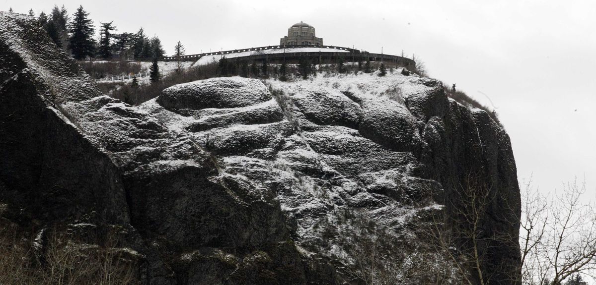
Most of Oregon is under some form of winter weather alert through Wednesday afternoon. The most severe weather was anticipated in the Columbia River Gorge and the Hood River Valley, where 5 to 7 inches of snow was possible.
Forecasters warned that a storm moving in tonight threatened to bog down the Wednesday morning commute in Portland and Salem while dumping heavy snow on the Cascades and the Gorge. One to 3 inches was possible in the Coast Range, along with a mixture of snow and rain in the Willamette Valley.
Snow was expected to ease up late Wednesday in lower elevations, to be followed by milder conditions in the valleys, but forecasters said wet and windy weather would linger through the weekend. On the coast, forecasts showed heavy rains and strong winds late in the week, with gusts in the Coast Range up to 70 or 80 mph.
With heavy rains come swelling rivers, and meteorologists planned to keep an eye out for flood dangers later in the week, forecasters said.
Farmers who rely on melting snow to water their crops also were pleased with the fresh powder after a winter spent eyeing a snowpack far below normal levels for this time of year.
At one Mount Hood measuring station, the snow depth has jumped 5 inches in a week, to 54 inches as of Sunday. At the same station last year there were 77 inches that day.