Rich Landers: Weather report tops list of outing preparations
Being a hiking and paddling guidebook author, I was interviewed recently by a magazine writer. Her first question: “What’s the most important tip you can offer people heading outdoors for recreation like hiking, fishing and climbing?”
“Check the weather report,” I said.
A pause followed and I could tell it wasn’t the insightful answer she’d expected. “Anything else?” she asked.
Indeed, it’s hard to believe something so important could be so simple.
It’s amazing that something so vital is neglected so often.
Forget to make your sandwiches and you’ll go hungry during the day. Missing the afternoon weather advisory for Rock Lake, a notorious wind trap, could mean a brush with death.
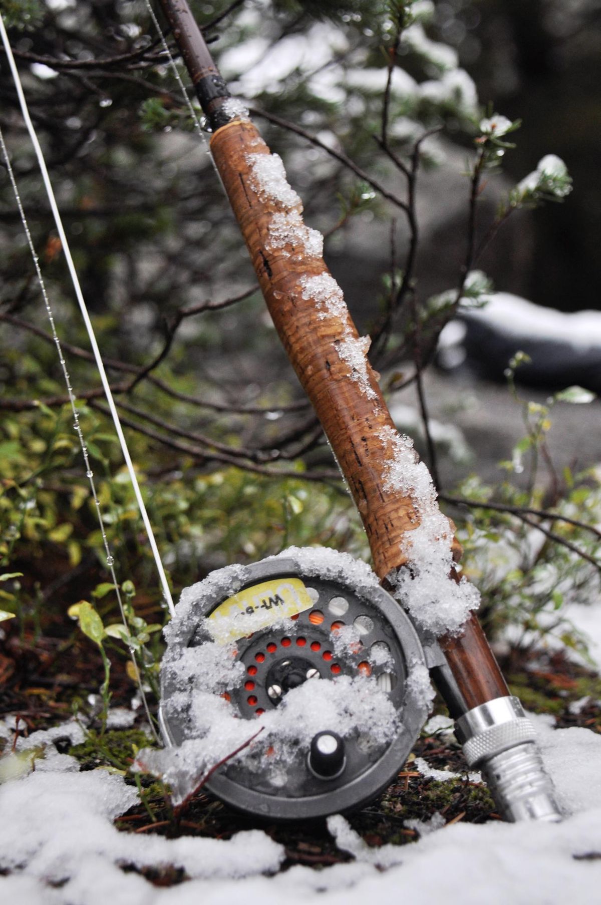
A forecast for snow will tempt a hunter to call in sick at work to take advantage of tracking conditions and more game movement during the late buck deer season. A hiker, on the other hand, might be prompted to chose a route that isn’t so steep and slippery or a lower-elevation trailhead to avoid getting stuck.
A sunny forecast doesn’t clear the way to leave home without essentials such as rain gear, fire starter, extra food and clothing and so on. Being prepared for anything is still important.
But a weather report can help you time a high-ridge scrambling route to avoid a dangerous thunderstorm that’s more potent than all of the gear in your pack.
Timing makes a huge different. I delayed departure for a Palouse pheasant hunt by an hour recently because the weather report noted fog and freezing temperatures followed by clearing skies. I breezed to my destination on wet pavement after the fog had cleared while passing two separate ice-related, single-vehicle accidents in road cuts along US 195.
In our Blue Mountains camp during elk season, my hunting buddy Jim Kujala turned on his weather band radio each night to help plan our next day’s hunting.
Having a weather radio in camp has paid off in more ways than one. On a couple of occasions, he broke camp and headed out early. Others who didn’t hear the advance notice of wind and deep drifting snow couldn’t get their rigs out of the mountains for weeks.
Newspaper, TV and radio weather forecasts are helpful. Better yet are the latest forecasts from the National Weather Service readily accessible by home computer or mobile device.
Google a weather report for an area and you might get links for private companies such as AccuWeather or Weather.com. These can be useful, quick to understand and accurate especially for certain locales.
These sites are maintained by privately operated staffs of meteorologists who collect data from National Weather Service radar, NOAA satellites and other sources to make their own models and forecasts.
But the National Weather Service at weather.gov has more employees and offices – 102 forecast centers, at least one in every state. The service forms a grid across the country with each office responsible for watches and warnings in its area.
If you haven’t been to the NWS website, you’re in for a meteorological treat, with radar maps and the works.
In the search field at the upper left of the screen, type in the name of a town for a pinpointed weather forecast.
You also can type in the name of a lake you’re scouting for fishing or a mountain peak you hope to climb. Just about any named feature you’d find on a U.S. Geological Survey topographical map can be targeted.
Type in “Fourth of July Lake, Washington,” and the screen immediately shows it’s “3 miles south of Sprague.” The lake is located on a Google Maps zoom-in window to help with travel routes.
For an example of how the weather models work, search for “Priest Lake State Park, Indian Creek Unit” and check the forecast and details.
Then compare that information for “Mount Roothaan, Boundary County, Idaho,” which rises to elevation 7,326 feet in the Selkirk Mountains just east of Priest Lake. Note that the forecasting software considers elevation differences in two points of close proximity.
The reporting area for both the lakeside park and the mountain peak is listed as Priest Lake at elevation 2,600 feet, but the details in the forecast are different because of the elevations of the specified sites.
A recent forecast predicted partly sunny and 22 degrees for Priest Lake. At Mount Roothaan on the same day the web predicted partly cloudy and a high of 9 degrees.
On another day, the forecast was for fog or clouds at the lake and mostly sunny at the peak. Bingo. That would be a good day to climb out of the grayness to enjoy snowshoeing or backcountry skiing in the sunshine above the fog.
The hourly forecasting feature on the website for temperature and other data such as wind is especially helpful to planning outdoor recreation. A graph shows the forecast wind speed for the day with bars that show how expected average speed and wind gusts will change hour by hour.
Checking this feature should be on the pre-trip planning agenda for every trip to Rock Lake in Whitman County, whether it’s for fishing or paddling.
Expect minor inconsistencies in some searches. Type in Amber Lake, for example, and you get an instant hit for the lake near Cheney.
But search for the Rock Lake that’s a popular fishery in this region and a page appears for Rock Lake in northcentral Washington. In that case, try the closest town. For Rock Lake in Whitman County, that might be Lamont.
Technology has made it obsolete, if not irresponsible, to be uniformed and surprised by the weather. Use the internet to your advantage while planning every trip.
But know its limitations. While the National Weather Service site can tell you the temperature and the wind chill for your next winter fishing trip to Sprague Lake, it can’t predict for sure whether the ice is thick enough to safely support anglers.
Even a high-tech world leaves some big decisions up to us.