Light snow predicted Wednesday, but first, freezing fog
Snow lingered Monday along roadways in the Inland Northwest but didn’t appear to be causing problems for traffic.
That might not be the case if National Weather Service forecasters’ prediction for freezing fog on Tuesday morning comes through, caused by lower overnight temperatures. Roads coated with freezing fog are notoriously slippery.
More snow is possible starting late Tuesday into Wednesday, but higher temperatures will turn it into rain at lower elevations, forecasters said. There could be up to an inch of snow at lower elevations, with more in the mountains.
A second round of mixed precipitation is likely on Friday, lingering through the weekend.
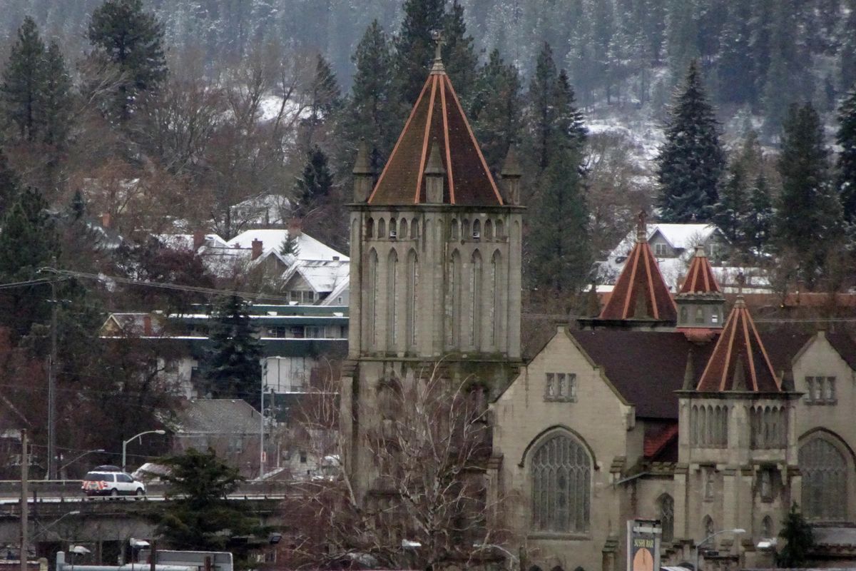
Spokane International Airport recorded 2.4 inches of snow Sunday night and into Monday morning.
Fog formed Monday morning on the West Plains, cutting visibility at Spokane International Airport to a quarter- to half-mile, but it didn’t disrupt air traffic. The temperature was 31 degrees.
National Weather Service forecasters said there is another chance of snow Wednesday, but probably only a half inch or so in the Spokane area. A high of 39 on Wednesday in Spokane will allow snow to switch to rain later in the day.
Snoqualmie Pass on Interstate 90 in Washington was reporting bare and wet conditions with some slush Monday.
Fourth of July and Lookout passes in Idaho had bare and wet pavement Monday.
Traffic cameras showed snow alongside the freeway at all three passes.
Sherman Pass on state Highway 20 had snow on the roadway at an elevation of 5,575 feet.
Traffic on Monday morning was moving smoothly across the region.