Scablands waterfalls primed for hiking into wet landscape
Lowland snow and ice is waving goodbye to winter, leaving Eastern Washington squishing with water.
This is prime time for a trek to absorb the power of a scablands waterfall.
Hikers champing at the bit to ditch their skis and snowshoes for a chance to smell sprouting greenery will find many trails still too wet for walking without sloshing or sinking in mud.
But several waterfall-viewing treks are ripe for visiting now. We’ve checked them out, and most of the puddles, pools and seasonal wetlands can be avoided with a few low-impact detours.
Expect to see migrating waterfowl – our wet world is their playground right now.
Hog Canyon Creek Falls
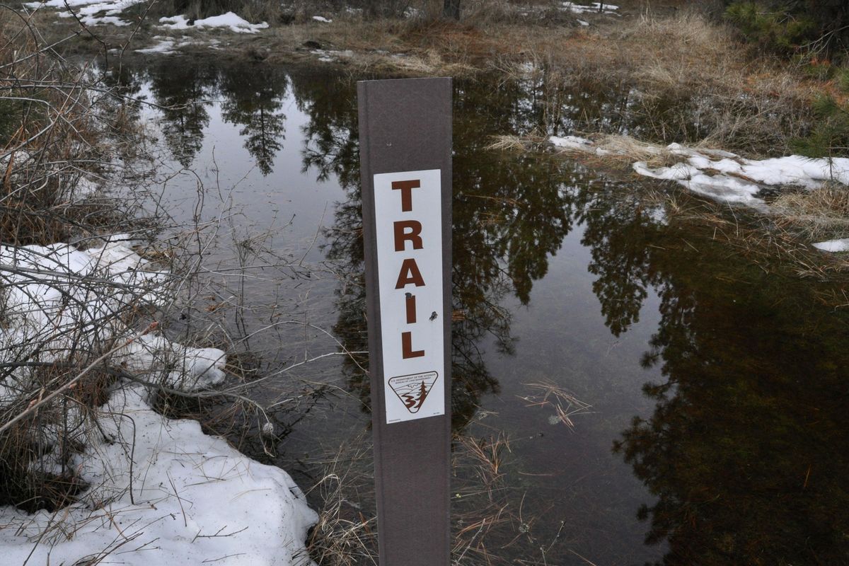
- Access via BLM land 30 miles west of Spokane.
- 4 miles round trip.
- Info: tinyurl.com/fishtrapBLM
Directions: From Interstate 90, take Fishtrap Exit 254 and turn south. Cross over I-90 and go 0.8 mile. Turn left on Lake Valley Loop Road and drive 0.5 mile to the parking area at Jack Brown Road.
Notes: A washout of the access road to the Hog Canyon boat launch has provided a temporary new hiking option into an area free of motor vehicle traffic. From the locked vehicle gate on Jack Brown Road, start hiking on the road through the pedestrian gate into land managed by the U.S. Bureau of Land Management.
Walk approximately 1 mile on the main road to a developed parking area and trailhead kiosk. Check the map on the kiosk to verify public land from private land. Hike through the gate and follow the trail makers for a 1.3 mile loop. Some of the trail is inundated this week and detours are required unless you wear rubber boots.
The loop route eventually passes scenic overlooks of the falls and of Hog Canyon Lake, which is still ice-covered this week. Keep a distance from the falls, which are on private property.
The loop leads back to the washed-out portion of the fishing access road. It’s impassable to vehicles but passable to walkers for a glimpse at the type of erosion that’s hitting roads and trails throughout the region this winter.
The cliffs along Hog Canyon generate thermals that, within 30 minutes on Saturday, gave a lift to gulls, a pair of red-tailed hawks and a bald eagle.
Palouse Falls
- At Palouse Falls State Park south of Washtucna.
- 1-4 miles round trip.
- Info: parks.wa.gov/parks
Directions: From I-90 at Ritzville, drive south 41.5 miles on SR261 and turn left on Palouse Falls Road.
Notes: The drive to this isolated oasis is rewarded with a spectacular view of Palouse (River) Falls plunging 185 feet over a basalt ledge. This week the river has been near flood stage in some areas and is heaving truck-loads of Palouse topsoil over the cliff, too.
Hike the paved walkways at the overlook or venture farther if you’re skilled and careful. If you haven’t been to the park recently, you’ll see new signs blocking some routes and other signs warning against proceeding down the cliffs toward the plunge pool below the falls. Hikers injured in the steep terrain have triggered costly rescues in recent years, park officials say.
Extreme caution is advised beyond the official viewing areas.
Towell Falls
- BLM Escure Ranch Recreation Area south of Sprague.
- 6.4 miles round trip.
- Info: tinyurl.com/EscBLM
Directions: From Sprague, Washington, drive south 12.2 miles on state Route 23 and turn right onto Davis Road. Drive approximately 7 miles and turn left on Jordan Knott Road. Drive 2.1 miles and turn right into the U.S. Bureau of Land Management’s Rock Creek-Escure Ranch Recreation Area. Drive 2 miles to the parking area.
Notes: Head south through the locked gate on the road that starts along Rock Creek. Enjoy a pleasant walk, which should be mostly rattlesnake-free this time of year, for 3 miles before the creek comes back in view. Head for the distant roar of the falls.
Spokane Falls
- Downtown Spokane
- 1-5 miles
- Info: spokaneparks.org/
Directions: Start at the Monroe Street Bridge for a short hike or enjoy a much longer hike starting from the High Bridge Park area and then accessing the Centennial Trail via the Sandifur Bridge over the Spokane River.
Notes: Spokane enjoys one of the best waterfall shows in the region, adding to the thrill of urban hiking between the Sandifur Bridge in Peaceful Valley upstream to the Kardong Bridge near Gonzaga University.
Water lover’s can hike the paths and bridges in Riverfront Park to cross over through the mist of the upper falls. A route that crosses 17 bridges as it zigzags the river is described in Day Hiking Eastern Washington. Park reconstruction is temporarily blocking some of those bridge crossings, but there’s still plenty of access.