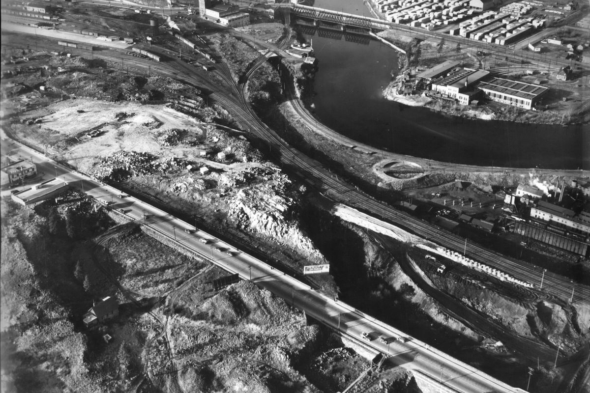
Then and Now: Spokane’s rocky landscape
When Spokane city father James Glover arrived in 1874, science had yet to explain the rocky buttes and basins of Eastern Washington or the other varied landscapes of the Washington Territories. Or why in Spokane, builders and excavators have had to work around large outcroppings and been stymied by rocky bluffs.
Between six and 17 million years ago, lava burst from long cracks, or “fissures,” and spread across Eastern Oregon and Eastern Washington. The highly viscous lava flowed freely during dozens of eruptions over several million years covering central and southeastern Washington and much of Eastern Oregon with a layer of basaltic rock up to three miles thick. The Spokane area is in the very northeast corner of these basalt fields, where the lava had petered out, leaving fields of rock and some islands of original grasslands.
Some of it cooled into crumbly, easily eroded hillsides. Some of the flat flows were pushed up into uneven surfaces. Some of the rock cooled into tall columns that slowly cracked apart.
Fast forward to the Ice Age, beginning about 2.5 million years ago. Ice Age weather patterns sent water into the valleys of the Northwest, filling low areas, sometimes blocked off by glaciers or ice sheets. A giant sheet that covered most of British Columbia and Alberta blocked valleys and dammed waterways, creating glacial Lake Missoula, which backed up 1,000 feet of water above current day Missoula. Periodically, the water would burst through the ice dam in the Purcell Trench and a wall of 200-500 cubic miles of water, icebergs and debris would tear through the Clark Fork Valley, over Lake Pend Oreille and into the Spokane River Valley before raging across Eastern Washington, carving the basalt landscape into buttes, basins and coulees and randomly removing soils. Another body of water, Glacial Lake Columbia, stretching across central Washington, contributed to the sculpting while also depositing silt in low areas.
The Ice Age floods not only carved Spokane’s varied topography, they also deposited gravel hundreds of feet deep on the flood’s route, creating the Rathdrum Prairie Aquifer, which provides clean drinking water to most of the Spokane-Coeur d’Alene area.