Touring the Columbia River Gorge seven months after a devastating fire
CASCADE LOCKS, Ore. – All it took was a firecracker, tossed by a teenager on impulse.
That moment on Sept. 2, 2017, sparked one of the worst fires in Oregon’s history. Instantly, flames erupted in the Eagle Creek basin, endangering dozens of hikers, including a family from Spokane who told their dramatic story to Rich Landers of The Spokesman-Review.
In all, 176 hikers were rescued. The fire raged for weeks afterward and wasn’t fully contained for nearly three months, causing $20 million in damage.
Today, most of the trails in the Columbia River Gorge National Scenic Area remain closed, as are several campgrounds and sections of the Historic Columbia River Highway. The difficult job of assessing and repairing the damage is just beginning.
It’s a big job. Fire burned nearly 49,000 acres, much of it in the Mark O. Hatfield Wilderness Area that is still covered in snow. It will be several weeks before crews can even assess the damage in the wilderness area, let alone repair trails.
Snow has melted on the lower elevations, and I was able to get access into the burned area guided by Lily Palmer, public affairs specialist for the Columbia River Gorge National Scenic Area. On a beautiful spring day in mid-April, we hiked several trails, including a segment of the Pacific Crest Trail as well as some of the more popular trails in the scenic area along the Historic Columbia River Highway.
Stump holes are left where tree roots burned all the way into the ground. Charred trees are everywhere, fallen in some places, still standing in others. Moss, ground cover and duff has been cleared by the fire, leaving only bare dirt that increases runoff and raises the potential for landslides.
In other places, the damage is less substantial, with partially burnt trees that may survive, Palmer said, but it’s too soon to tell. Elsewhere, the forest appears untouched. Officials call this variation of damage “the fire mosaic.”
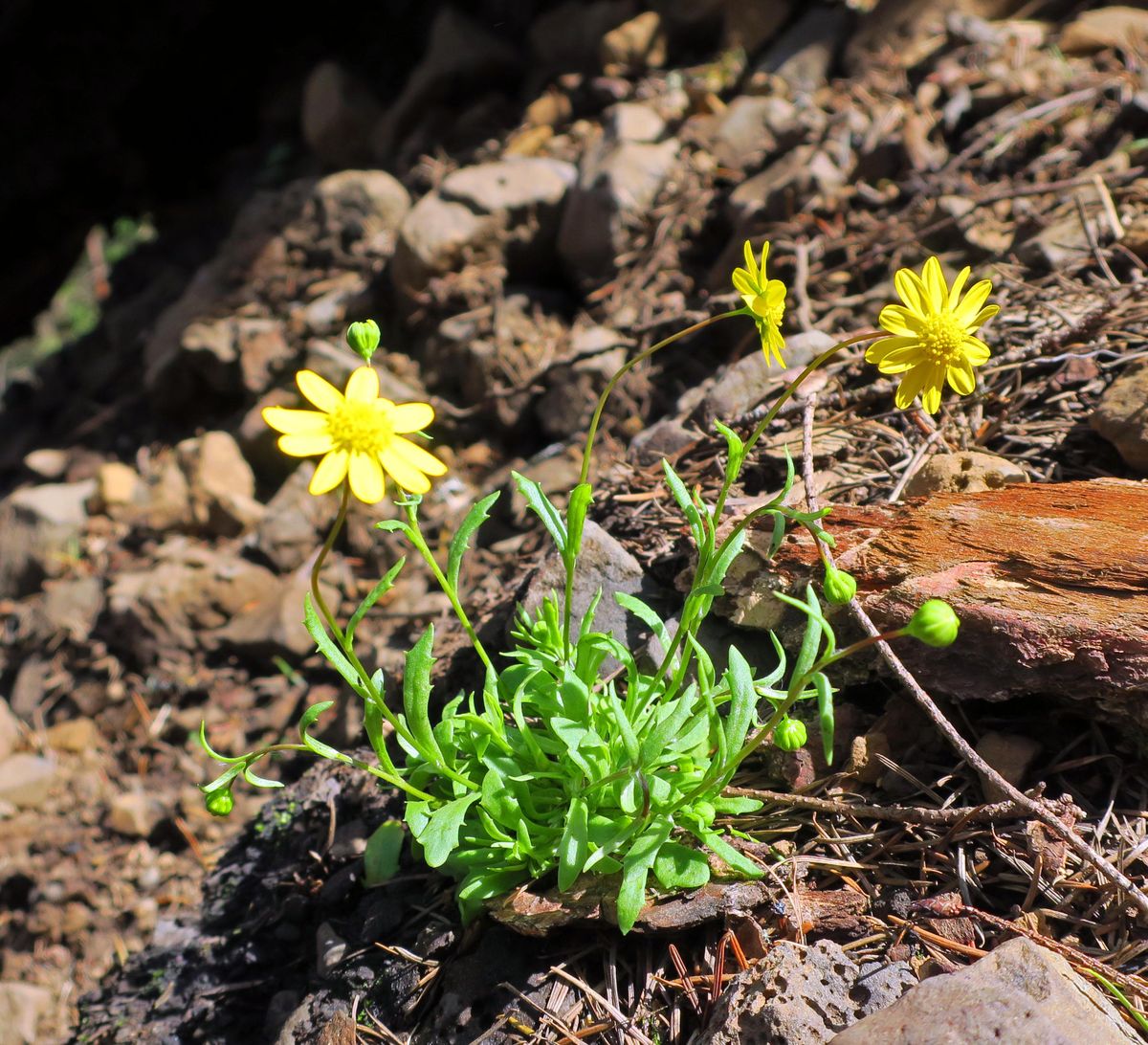
Along trails, fresh green growth and wildflowers are blooming, giving the fire zone an oddly upbeat feeling, but blackened trees provide an eerie reminder of the devastation.
“It just feels like hope when you hear the water in the streams and see the new spring growth,” Palmer said. But full recovery will take decades.
One of the most dangerous aspects of the fire zone in the Columbia River Gorge National Scenic Area is rockfall. Everywhere, loosened basalt rocks are tumbling onto trails from the steep slopes.
“The moss that grew on the talus slopes was like a glue,” Palmer said. “When it burned, the glue was gone and the rocks have nothing to hang onto.”
Some of the hardest hit areas are along the Historic Columbia River Highway, where a number of popular trails snake into the cliffs. Big slides strike all of the time as the rocks search for “the angle of repose” – the steepest slope angle where they are stable.
“You can see why the historic highway needs to be closed – rocks keep falling on it,” Palmer said as we climbed on the trail toward Pony Falls, one of the more popular trails in the scenic area. “This landscape is so dynamic and things are still moving.”
Within the scenic area, 90 miles of trails burned. Assessment of the damage has been done on about 57 miles, and repairs to the walking surface of trails have been done on about 38 miles. Downed trees have been logged out on about 44 miles of trails.
The big question, of course, is when will the trails reopen?
“People call every day asking that question,” Palmer said. Some trails west of Multnomah Falls, which had limited damage, will open this summer. The historic Multnomah Falls Lodge is open, as is the lower viewing platform, attracting large crowds even on weekdays, but the iconic Benson Bridge and upper viewing platform remain closed.
Other trails, such as those in the Eagle Creek drainage, will take much longer to be assessed and repaired. In Eagle Creek, bridges were destroyed and fire damage was extensive.
“That area has not been assessed at all,” Palmer said. The Eagle Creek drainage will be the last to open, she added.
There’s no timeline for when the trails between Multnomah Falls and Cascade Locks will open. The Pacific Crest Trail into Cascade Locks should open “sometime this summer,” Palmer said.
Law enforcement agencies are enforcing the trail and highway closures. Mushroom-pickers have been sneaking onto the closed trails in search of valuable morels, Palmer said, risking a $280 fine if caught.
Meanwhile, it will take decades for trees to come back. The fire zone consumed mostly western hemlock and several species of fir trees. In the short term, severely burned areas will offer more sunlight for plant growth along what had been deep forest, and trees will eventually return.
Within the Hatfield Wilderness Area, hillsides were severely burned and will be scarred for many years to come. The U.S. Forest Service has a policy of doing no replanting in wilderness areas unless “there is no reasonable expectation of natural reforestation.”
The Vancouver, Wash., teenager who started the devastating fire has not been publicly identified. He has been fined 1,920 hours of community service and five years of probation. He also faces paying restitution for costs of the fire, still to be determined.
“I want to express how sorry I am for what I did,” he said in court during sentencing in February. “I know a lot of people suffered because of a bad decision that I made. … I am truly sorry about the loss of nature that occurred because of my careless action.”
John Nelson is a freelance writer based in Seattle. Read his blog at OurGrandTour.net.