After last night, warmer days are here

Temperatures dropped to 13 degrees late Tuesday night but forecasts show slight warmer temperatures ahead.
The high Wednesday is 29 degrees and 37 degrees Thursday.
Snow is likely to fall Wednesday night through Thursday bringing an additional couple of inches to the Spokane area.
“We’re looking for snow to develop in Spokane starting this evening,” said Tom Dang, meteorologist at the National Weather Service’s Spokane office.
“The weather system that’s going to be brining in this snow will be moving relativley rapidly,” Dang said.
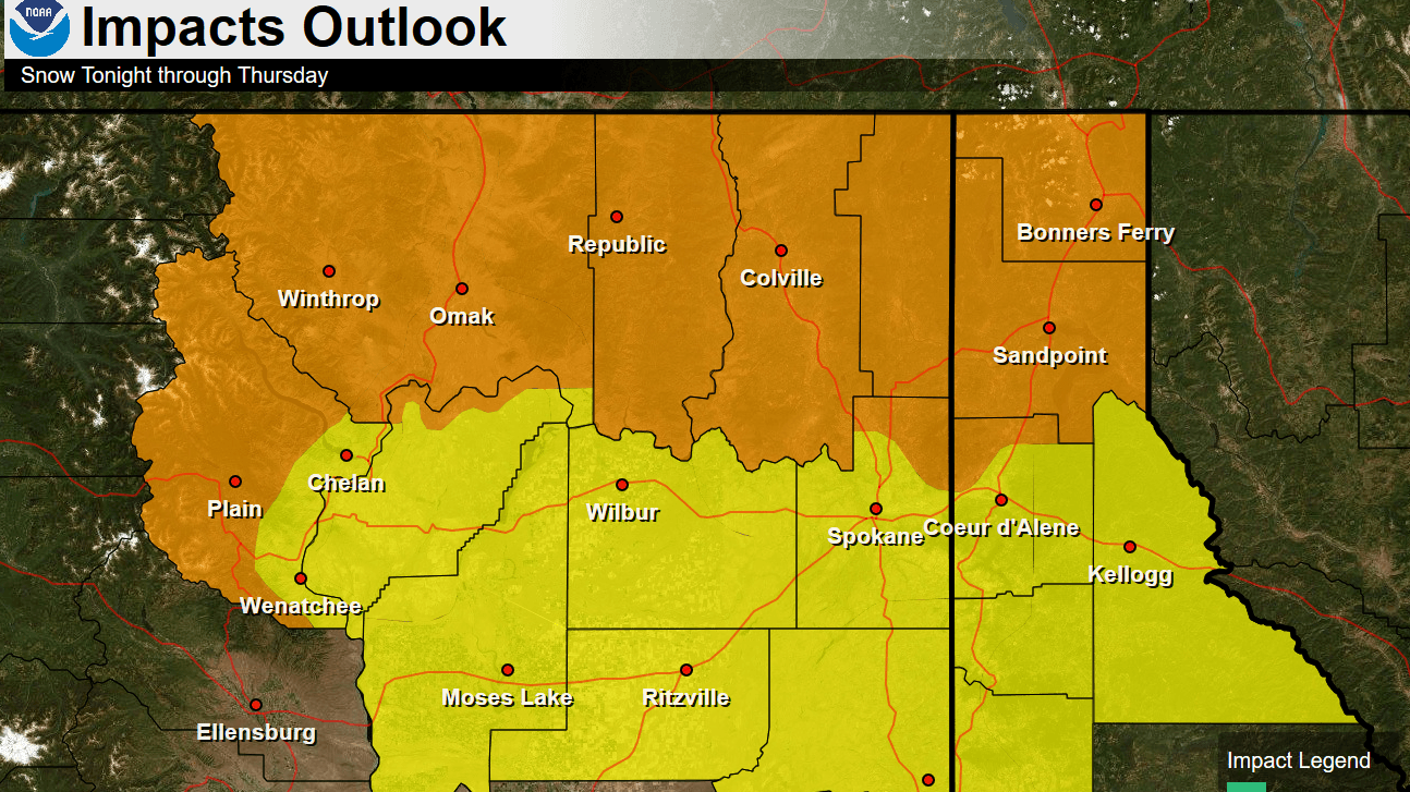
Snow is expected to end around midnight leaving both the Spokane and Coeur d’Alene area with about 2 inches of new snowfall. Areas north of Spokane, like Deer Park are expected to get more snowfall over night, Dang said.
High temperatures for the rest of the week are forecast in the low to mid-30s.
“At this stage, it doesn’t look like we’ll see any temperatures as cold as we did this morning for a while,” Dang said.
While the relatively warm spell won’t melt down the snow pack, it might help clear roads, Dang said.
“Those warmer temperatures do help in terms of clearing out some of that ice we have on the roads,” Dang said.