Weathercatch: While we froze, Alaska baked fostered by kind in jet stream
Eight years ago this week, the Inland Northwest shivered through a blast of Arctic air as Alaska experienced record-breaking warmth.
This upside-down weather pattern compounded the oddness of us being mired in a deep freeze when it was only the first week of December.
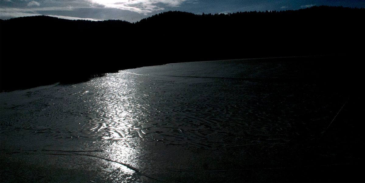
On Dec. 5, 2013, the National Weather Service in Spokane issued a wind chill watch for the Inland Northwest for very cold weather intensified by winds gusting to 20 mph. Frigid air from the Arctic would deliver subzero temperatures to our region, meteorologists predicted.
True to their word, by Dec. 7, the low temperature hovered at minus 10 in Pullman and zero degrees in Spokane and minus 2 the next day. What’s more, the polar air mass spilled across the entire West and parts of the Midwest, sending temperatures plunging 20 to 30 degrees below normal. The coldest location was Jordan, Montana, with a low of minus 42 degrees on Dec. 7.
Meanwhile, in the Alaskan village of Deadhorse, where polar bears roam, the temperature reached almost 40 degrees on Dec. 7. Located 10 miles from the Arctic Ocean, it was the warmest temperature ever recorded there during December. And in the southwestern part of the state, King Salmon hit 54 degrees, breaking the previous record of 51 degrees for December.
What caused this see-saw pattern? NASA explained it this way on its Earth Observatory website: “Both extremes were caused by an unusual kink in the northern hemisphere’s polar jet stream which caused frigid Arctic air to move south and warm air to head north.”
The jet stream – a fast-moving current of high-altitude air that separates air masses and steers disruptive weather – sometimes shunts warm air to Alaska while drawing cold air to the Pacific Northwest. But what made this December 2013 jet-stream pattern so unusual was how early in the season it formed and how amplified it was.
The jet stream channeled warmth from the Pacific Ocean northward into the Arctic. Meanwhile, a high-pressure ridge parked over Alaska “kinked” the jet stream, sending upper-atmosphere Arctic air southward.
Fortunately for us, the flip-flop pattern started to dissipate on Dec. 9. Temperatures in the Inland Northwest returned to normal by Dec. 12 and rebounded to above normal on Dec 15.
Needless to say, December 2021 got off to a far gentler start. As for November, the season’s first measurable snowfall arrived Nov. 18, when 1 inch was recorded at Spokane International Airport. A November standout was an atmospheric river that slammed Western Washington midmonth with heavy rains, winds, flooding and power outages. The more docile effects felt in the Inland Northwest included a few downpours and blustery conditions. Temperatures ran above normal for the month, especially during the week after Thanksgiving.
So far, we’ve seen no trace of Arctic air, except over Alaska where it belongs.
———
Nic Loyd is a meteorologist in Washington state. Linda Weiford is a writer in Moscow, Idaho, who’s also a weather geek. Contact: ldweiford@gmail.com