Thursday storm likely will bring Spokane’s largest snow of the winter so far
After little snowfall Tuesday, a large storm is forecast to move into the Spokane area late Wednesday night, dropping the largest snowfall so far this winter.
The National Weather Service Spokane issued a winter storm watch for Wednesday evening through Thursday afternoon.
The storm is expected to drop 4 to 7 inches of snow in Spokane. Coeur d’Alene could see a few more inches than that, said Joey Clevenger, meteorologist at the National Weather Service Spokane.
The winter storm watch said snowfall could reach 12 inches closer to the mountains.
The weather will likely remain mild during the day Wednesday, with the storm moving into the Spokane area late that night.
“You might not see much by the time you go to bed Wednesday night, but you’ll see it when you get up Thursday morning,” Clevenger said.
Snow should fall through Thursday afternoon, affecting both the morning and evening commutes, Clevenger said.
“Give yourself extra time during the commute time frames,” he said.
Spokane Public Schools will work with Durham School Services, which operates school bus service for the district, to determine if school will be canceled or delayed, according to a Facebook post by the district.
Families and employees will be notified of cancellations or delays by 6 a.m., the district said.
After multiple mountain pass closures this week, the department of transportation recommended delaying trips across passes, specifically Snoqualmie Pass, according to the department’s social media posts. Interstate 90 westbound near Ellensburg was closed as of about 7 p.m. Tuesday because of weather and multiple collisions. There was no estimated time for reopening.
Snoqualmie Pass has received the highest snowfall in 20 years as of Monday, according to the Associated Press.
The Washington State Department of Transportation says by Monday afternoon, 236 inches of snow was recorded, more than the 229 inches by Jan. 3 recorded in 2007 and 212 inches in 2004.
On Monday, blowing snow closed Interstate 90 over Snoqualmie Pass, AP reported.
The state’s main east-west highway was closed much of the day due to zero visibility and avalanche concerns, but state transportation officials said it reopened around 8 p.m. Monday.
The last time Spokane saw such a significant snowfall of about 7 inches was in January 2020.
That storm caused schools across the region to cancel classes – and more than 100 traffic collisions.
“We typically get one or two events like this a year where we get a decent amount of snow in a 24-hour period,” Clevenger said.
The storm should bring warmer air, raising the low temperature Thursday night to 32 degrees.
Another break for the Spokane area should come over the weekend, with little or no snowfall and highs in the low 30s, according to the National Weather Service.
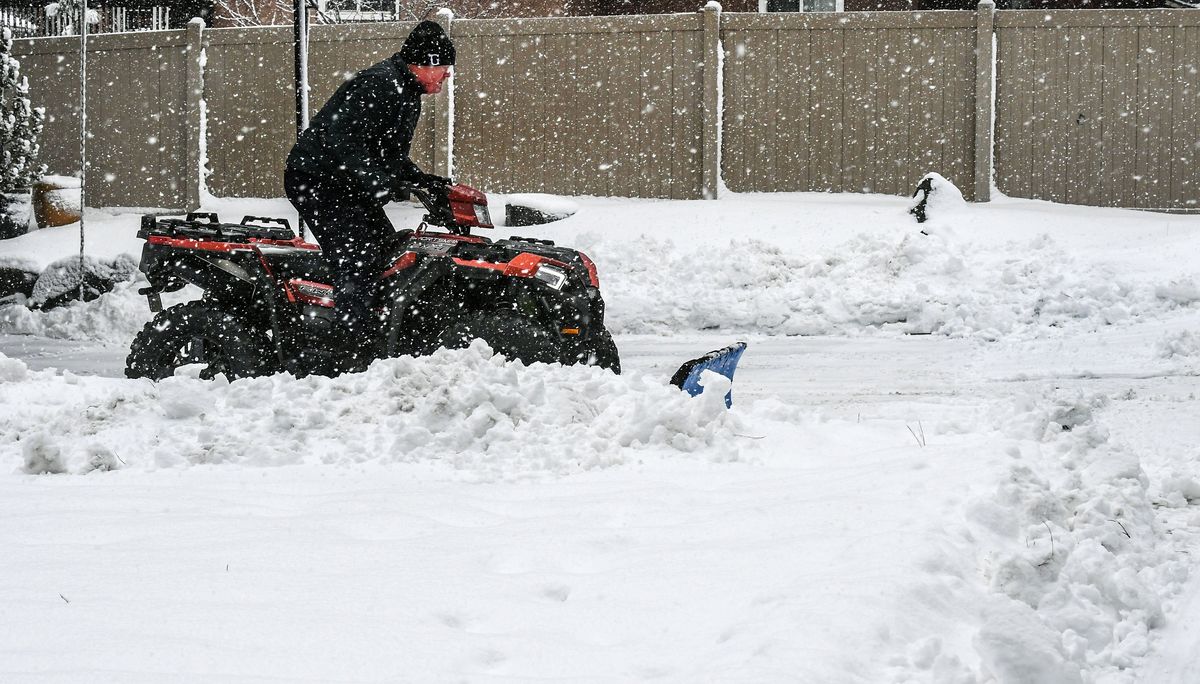
Tuesday morning, crews still were working to clear snow from the last storm.
Highways and mountain passes were closed Monday due to extreme weather, but with little snowfall overnight most passes were open Tuesday.
Stevens and Snoqualmie passes were open Tuesday but had snow and ice on the road.
S-R reporter Garrett Cabeza contributed to this report.