Clearwater Forest offers mobile app for travel map
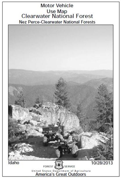
PUBLIC LANDS — The new Nez Perce and Clearwater National Forest Visitor Maps and Clearwater NF Motor Vehicle Use Maps (MVUMs) are available in paper, as usual, but new this year the forests’ map publications are avaiable for mobile device such as an iPad, iPhone, iPod Touch or Android (4.0.3 or newer).
Download the Avenza PDFMaps app, available at http://www.avenza.com/pdf-maps to your mobile device.
Once you have Avenza on your mobile device, use your device to download the maps at pdf-maps.com while running the app select ‘Get Maps’ and search for “Nez Perce National Forest Visitor Map” for West and East side maps or “Clearwater National Forest Visitor Map” for West and East side maps.
For Clearwater NF Motor Vehicle Use Maps, search for “Clearwater MVUM” to download MVUMs for Palouse, Lochsa, Powell, and North Fork Ranger Districts.
- NOTE: Nez Perce NF MVUMs are not available yet.
With the app and maps installed on your mobile device, you will be able to:
- View your location on the PDF maps using the built-in GPS device
- Measure distances and areas
- Plot waypoints
- View maps offline
The Motor Vehicle Use Maps (MVUMs) are free downloads for smartphones and tablets.
The Forest Visitor map download is $4.99 each.
For more information on forest maps, go to our website at:
* This story was originally published as a post from the blog "Outdoors Blog." Read all stories from this blog