More wildfire access closures lifted on area forests
UPDATED 1 p.m. with news of closures lifted on Salmon River Road.
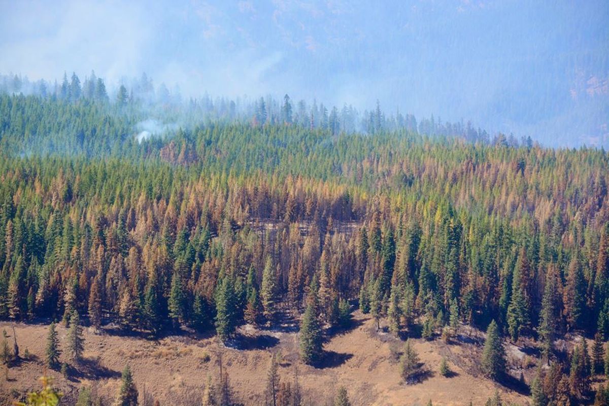
PUBLIC LANDS – Piece by piece, national forest officials continue to reopen access to areas that have been closed for weeks because of fire and fire-fighting activity.
St. Joe River Ranger District lifted all large emergency wildfire closures today as firefighters, rain and cooler temperatures continue to reduce fire activity in the area. Only a handful of road closures remain.
Coeur d’Alene River Ranger District has lifted most of its large fire-related closures, too, although several roads and at least eight trails remain closed in areas where firefighting or related work continues.
Umatilla National Forest has reduced its closures in the Blue Mountains and provided limited access to the Wenaha-Tucannon Wilderness. The Grizzly Bear Complex fires are still burning and were only 44 percent contained on Thursday.
Salmon River Road out of Riggins has been reopened today after being closed since late August as the Tepee Springs Fire burned through. Other restrictions also have been lifted, but closures remain north of the Salmon River.
Campfire restrictions also have been eased in many forests, including the Colville, which made the announcement this morning.
St. Joe District closures as of Sept. 18:
The previous areas closures have primarily been replaced by a handful of road closures, which include Forest Road 1936 from FR 321 to FR 1936A, Forest Road 490 from FR 1936 to FR 396, and Forest Road 363 from FR 1268 to Buzzard Roost. All other areas, roads and trails are now open on the St. Joe Ranger District.
Although area closures and fire restrictions have been lifted for federal lands, some restrictions still exist on private timber lands in the area.
Coeur d’Alene District closures as of Sept. 18:
All or portions of Forest Roads 400, 805 and 959, and Forest Trails 526, 400, 162, 448 and 32. Additionally, an area closure remains in effect for the Settler’s Grove of Ancient Cedars due to falling trees and still smoldering roots causing unsafe conditions. The Settler’s Grove area closure is likely to remain in place through the winter to allow time for winter snow to fully extinguish the fires and bring down any additional loose trees damaged by wildfire.
Umatilla National Forest closures as of Sept. 18 include:
This most recent adjustment in the closure area provides limited access to portions of the Wenaha-Tucannon Wilderness where contingency or suppression efforts have been completed. Areas within the Wenaha-Tucannon Wilderness that remain closed to public entry include:
-
South and east of Forest Trail #3113 (Misery Trail)
-
East of Forest Trail 3256 (Sawtooth Ridge Trail) and Forest Trail 3241 (Elk Flat Trail).
The closure area also includes non-wilderness national forest lands north of Forest Road 62 from Elk Flats Trailhead to the forest boundary near Troy, Oregon.
A closure description and map of the reduced closure area are available at all Umatilla National Forest offices as well as on the Umatilla National Forest website and Grizzly Bear Complex Facebook .
Official Umatilla closure description effective Friday, September 17, 2015:
The area within the following boundaries: starting at the Sawtooth Trailhead, south on Forest Service Trail (FST) 3256 trail to FST 3106. From the junction of FST 3256 and FST 3106 following FST 3106 west to the junction of FST 3241. From the junction of FST 3106 and FST 3241 following FST 3241 south to Elk Flat Trailhead. Elk Flat Trailhead following Forest Service Road (FSR) 6200 290 east to FSR 6200. From the junction of FSR 6200 290 and FSR 6200 following FSR 6200 east to the Umatilla National Forest Boundary. From the junction of FSR 6200 and Umatilla National Forest boundary continuing along the boundary east and north to the junction of the Wenaha Tucannon Wilderness boundary near County Road 162 (excluding County Road 162). Following the Wenaha-Tucannon Wilderness boundary north and west to Diamond Peak Trailhead. Following FST 3113 west and south from Diamond Peak Trailhead to the TeePee Trailhead. From the TeePee Trailhead following the FSR 4608 west and south to the junction with FSR 4600. From the junction of FSR 4600 and FSR 4608, west and south on the FSR 4600 to FSR 4600 420 spur. FSR 4600 to FSR 4600 420 spur junction to the Sawtooth Trailhead on the FSR 4600 420 spur.
* This story was originally published as a post from the blog "Outdoors Blog." Read all stories from this blog