Spokane River flows improve from rock bottom
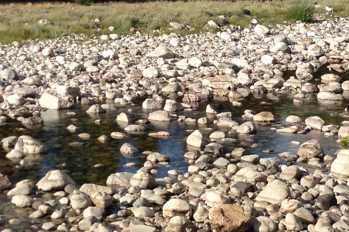
RIVERS — If you’re wondering why some people are concerned when the Spokane River sometimes is reduced to little more than a trickle in late August, these photos taken Saturday at Barker Road “rapids” offers a clue.
“You could easily rock hop across and never get your feet wet,” said Art Zack.
- Here’s the explanation .
Click through the photos above to see the USGS Spokane River gage chart and the upswing in flows starting Tuesday when the annual gradual lowering of Lake Coeur d’Alene began.
* This story was originally published as a post from the blog "Outdoors Blog." Read all stories from this blog