This column reflects the opinion of the writer. Learn about the differences between a news story and an opinion column.
Getting There: City pursues West Central greenway as citizens ask for citywide bike network

The city of Spokane has $81 million in pandemic-relief funding burning a hole in its pocket.
Unsure how to spend it, the City Council is asking residents where all of that money should go.
One way it has done so is with a ThoughtExchange survey that lets respondents both generate ideas for how to spend that money and rate the proposals of others.
As of Friday morning, 798 people had participated, offering 1,529 proposals and rating those proposals 28,001 times.
It’s a far-from-perfect system with lots of overlap that makes it difficult to quickly decipher.
“Help the very small businesses,” “I also think businesses that closed due to covid need more help. We’ve lost far to many,” and “Help our businesses!!!” are just a small sample of the distinct “thoughts” offered on the topic of assisting struggling businesses, for example.
The survey is also still open and evolving.
But keeping in mind those limitations, it’s notable that the top-rated idea is “Build Bi-directional Protected Bike Lanes” and that the second-highest-rated idea is “Build a Crosstown Protected Bike Lane Network,” and that one identical idea (“Build a Crosstown Protected Bike Lane Network”) and another very similar idea (“Protected bike lane network for students”) are also in the top 10. Five of the other top 10 proposals pertain to affordable housing.
It’s impossible to know how many miles of protected bike lanes $81 million would buy, but the Pedestrian and Bicycle Information Center put the average cost per mile at $133,170 in 2013. Even if that cost were roughly doubled to $250,000, the math pencils out to the city’s money paying for 324 miles of protected bike lanes.
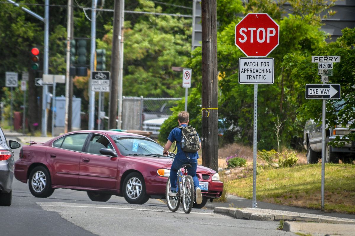
While it’s safe to say that isn’t going to happen, any expansion of the city’s scant protected bike lane network would be welcome.
Right now, that network is limited to a few discrete sections alongside the new City Line stations on Main Avenue downtown, plus parts of the South Gorge Trail in the Peaceful Valley.
A new section of the Centennial Trail under construction along Summit Avenue in West Central also includes a concrete buffer to protect the shared-use path as it curves along the bluff over the Spokane River.
The city is planning to add protected bike lanes when it rebuilds Illinois Avenue from Market Street, where users will eventually be able to connect to the coming Children of the Sun Trail, to Cincinnati Street.
There, at Cincinnati, cyclists will be able to connect to another segment of the city’s slowly growing bike network: Spokane’s first, and recently completed, greenway.
With that infrastructure in place on the city’s northeast side, cyclists will get a glimpse of the kind of network they are apparently hoping for, as the Centennial Trail, the Cincinnati Greenway, the Illinois Avenue Bikeway and the Children of the Sun Trail allow for seamless connections between neighborhoods.
On Tuesday night, a small subset of the Spokane Bicycle Advisory Board, a pair of city planners, a consultant, a child and a reporter gathered in A.M. Cannon Park to get a preview of how the city’s burgeoning bike network might grow on the other side of the North Side.
Everyone wore masks due to the thick wildfire smoke and the resurgent pandemic, but Grant Shipley, the board’s chair, towed a bike trailer blasting blues and R&B to lighten the dystopic mood.
From the park, the group headed down Belt Street, took a dogleg at Boone Avenue, continued south on Chestnut Street and crossed Kendall Yards via sidewalks before arriving at the Centennial Trail.
They took Elm back to the park and the West Central Community Center.
Those two routes represent the two options the city is considering for a new greenway in the neighborhood.
The impetus for the project came in 2019, when the neighborhood council submitted a traffic-calming application to the city that sought to reduce vehicle traffic and improve the bike route along Chestnut, according to Inga Note, senior traffic planning engineer for the city, who took part in Tuesday’s ride.
As the city began working with the council on “a holistic study of the corridor so we could figure out exactly what improvements we needed,” Note said, the idea of a greenway came up. So did the option of considering not only Chestnut but also the Belt-Elm corridor, since the city had already identified both as bike friendly routes that could be developed into future greenways.
The result was a decision to allocate $40,000 to pay a consultant to conduct neighborhood outreach and draw up preliminary designs for each possibility, so the city would have better information when deciding which route to pursue.
Toole Design was selected, and Spencer Gardner, a project planner with the firm who happens to live nearby, has taken the lead in completing that early work.
While greenways aren’t the only kind of bike infrastructure planners can use – protected bike lines are another – Gardner said they are a “good tool in the tool belt.”
“The theory behind greenways is that a place like Spokane – in many neighborhoods here – already has pretty quiet, low-traffic, low-speed streets that are generally pretty comfortable for bicycling,” he said. “And with just some minor modifications and low-cost tweaks to the environment, we can enhance that even further and make it feel like a high quality bike route.”
One benefit of a greenway, he said, is “it doesn’t require a major change in any of the street configurations. So you’re not taking away travel lanes from cars. You’re not having to mess with existing traffic patterns, usually. You’re really just building off the good qualities that are already there. And in some cases, you may add traffic calming elements. These are things that people in Spokane are probably already familiar with.
“So traffic circles at intersections or bump outs, bringing the curb out at intersections,” he continued. “Those are some examples that you can see in Spokane that you could consider for a route like this. And the goal is to ensure traffic speeds stay within an acceptable range and so that bikes feel like they’re not competing with high-speed traffic. And because those characteristics already exist to some extent on a lot of streets here in Spokane, the neighborhood greenway concept is a good one.”
But the path of the West Central greenway, much less its specific design elements, have yet to be chosen.
That will come only after Gardner and his firm conduct public outreach and draw up possible configurations over the next several months.
His work should be completed by the end of the year.
Note said she hopes the neighborhood will come to a “consensus” about which route to choose by then and that the city will have “a good picture of what the corridor should look like in the future” as well as some rough cost estimates.
“That would give us the ability to apply for grants through the state to fund it, or to do pieces of it maybe through the traffic-calming program,” Note said.
Meanwhile, the city and Spokane Public Schools are pursuing what’s known as the Cook Street Traffic Calming Project, which will include landscaping, wider sidewalks and pavers to slow neighborhood traffic in front of the new Shaw Middle School. That project could be a piece of a larger greenway project in the area, Note said.
She also said the city is planning a new bicycle-friendly route along Garland Avenue. The Garland Pathway will connect the Cook Street corridor to the Children of the Sun Trail, crossing over the North Spokane Corridor and reaching the Minnehaha neighborhood near Wildhorse Park.
Put all of these built, planned and proposed elements together, and the city of Spokane won’t have a citywide network of protected bike lanes. But it is making progress toward a more connected, bike-friendly system. And even a share of the city’s $81 million certainly would certainly help it get closer.
Work to watch for
Freya Street between Wellesley Avenue and Upriver Drive will have lane closures and flaggers for striping Monday.
Freya Street between 37th Avenue and the Palouse Highway will have lane closures with flaggers for striping on Thursday.
City Line work will lead to the following interruptions this week:
- Cook Street will be closed south of Mission to Sinto Avenue.
- Mission Avenue will be reduced to a single lane in each direction between Magnolia and Lee streets.
- Napa Street south of Mission Avenue will be limited to one northbound lane.
- Front Avenue will be closed from Sherman Street to the east end of Front Avenue through Aug. 31.
- 14th Avenue between Bernard and Wall streets will be flagged through Monday for asphalt work.
- Grace Avenue will be closed between Upriver Drive and Chronicle Road until Sept. 15.