This column reflects the opinion of the writer. Learn about the differences between a news story and an opinion column.
Getting There: Spokane seeks to link denser development to better transit, achieve a ‘green dividend’

You can already see it happening on North Hamilton and Division streets, according to Louis Meuler, the city of Spokane’s interim planning director.
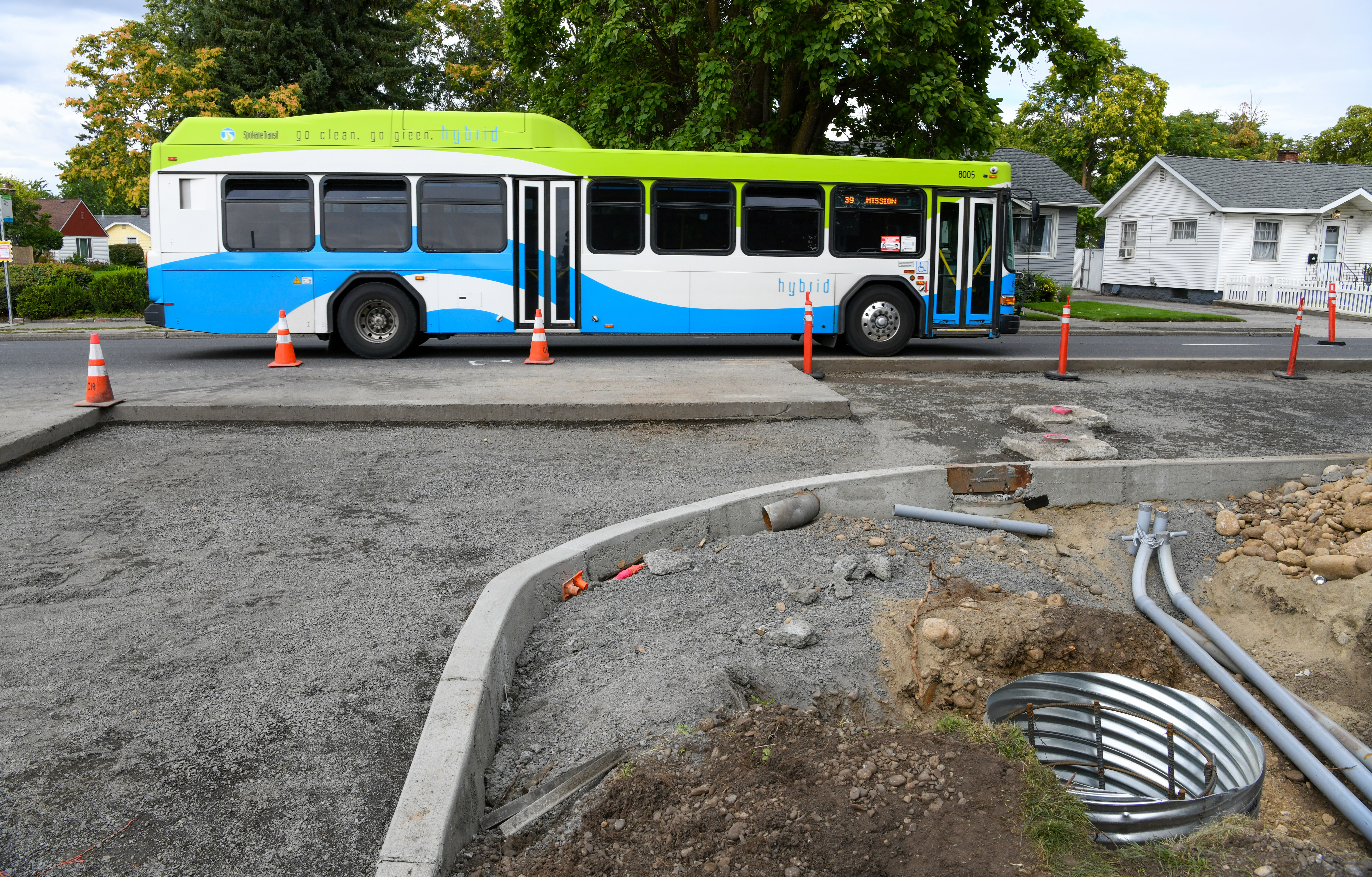
With Spokane’s first bus rapid transit line slated to cross those corridors along Mission Avenue when the City Line opens early next year, developers have already begun erecting denser housing and more mixed developments, he said.
In a city where the mayor has declared a housing emergency, where traffic is becoming increasingly congested and where the effects of climate change are increasingly impossible to ignore, planners are hoping to push more development – and more compact development – along the Spokane Transit Authority’s growing network of high performance transit.
They are also aiming to boost pedestrian and bicycling infrastructure around stops and stations to increase access to, as well as ridership on, that transit.
The pursuit of combined land use and transit policies to meet these aims was enshrined in the city’s comprehensive plan last year, when City Council voted to add a new section that vowed to “encourage transit-supported development, including a mix of employment, residential, and commercial uses, adjacent to high-performance transit stops.”
The new section noted that there are two main ways to reduce reliance on cars: offer public transit service at least every 15 minutes, and promote mixed-use development that puts more goods and services within close proximity of where people live.
STA is pursuing the first strategy by constructing the City Line, offering frequent service along multiple bus routes, and seeking to add more bus rapid transit and high-frequency lines in the near future.
Now the city is pursuing the second strategy with the recent launch of the city’s Transit-Oriented Development Framework Study.
Over the course of about seven months, that study aims to begin identifying what changes to make along the City Line, where to make them and how to make them.
City Council’s comp plan amendment offers a glimpse at what tools the city might use: “Transit-supported development should be encouraged through the application of development incentives, enhanced design measures, streetscape standards, parking standards, and potential changes in density and use.”
But before such tools are employed, the amendment recommends “neighborhood and stakeholder involvement and public participation processes to ensure that site-specific and neighborhood-context issues are addressed and benefits are maximized.”
The Chief Garry Park Neighborhood Council hosted the first public presentation made as part of the study in mid-June.
Cathy Gunderson, the council’s co-chair, said it was informative, but she also said it seems “a lot of people aren’t paying much attention” to the information being offered.
Even the arrival of the City Line itself, with the construction of stations along Mission Avenue, has been a “surprise” to some.
“But I think they’ll come to embrace it when they see the benefits of it, especially if their car breaks,” Gunderson said. “Having a bus every 10 minutes will be a big plus.”
As for the possibility of more and different kinds of development, Gunderson is open to those changes, too.
“I think the mixed development would be good,” she said. “I could see the higher density for housing.”
Some neighborhoods, especially those along the City Line’s western end, already see that density.
Browne’s Addition and downtown are home to some of the city’s most compact development and loosest zoning rules.
But as the City Line enters the University District, crosses the Spokane River, enters the Logan Neighborhood and passes through Chief Garry on its way to its eastern terminus on the campus of Spokane Community College, the possibilities for change increase.
In areas like Chief Garry Park, where the neighborhood is zoned almost exclusively single-family, though, increased density could lead to significant changes in what can be built.
To make those changes less drastic, Meuler said the city is looking into the idea of creating “transition zones” that would allow for denser development to “fade in” gradually.
In areas that “already have fairly intensive zoning,” Meuler said the study will consider whether the city should “pump up” that density through more specific alterations of code, such as allowing an extra story on buildings in some areas.
He said those kinds of changes could allow the city to absorb some of the pressure on its housing market and allow vacant or underutilized parcels to “pop” with taller, mixed-use structures.
To pave the way for such changes, the city has already embarked on initiative to improve subsurface infrastructure such as water lines in order to reduce the cost of development in areas slated for frequent transit service.
Other early elements of transit -oriented development may also be relatively subtle, such as new sidewalks that lead to bus stops.
The larger vision of what transit -oriented development can be harder to conceive , said Colin Quinn-Hurst, an assistant planner with the city.
“When we get to some of these development concepts, it’s just trying to imagine it. Is that really possible here?” he said. “I think people are just trying to wrap their brains around it.”
To help them do so, Quinn-Hurst is hoping to create some new visuals ahead of the next transit -oriented development meeting on Sept. 15.
Another way to see what might be possible is to look at what other cities have done.
A document prepared as part of the Division Connects study, which aims to bring bus rapid transit and land -use changes to the Division Street corridor, offers a glimpse at how a wide range of cities, from Tacoma to Cleveland to Atlanta, tackled similar projects.
Perhaps the best example of how transit and land use have been coordinated can be found in Portland, Meuler said.
The result, according to some research, is what’s known as a “green dividend”: a pay off that can be measured not only in reduced carbon emissions but also in the money in the pockets of residents who commute less, due to the increased proximity of amenities in mixed-used developments, and who spend less to do it, because they drive less frequently.
To view an interactive map, complete a survey and learn how to attend the upcoming meeting about transit -oriented development here, visit my.spokanecity.org/projects/transit-oriented-development-study.
Work to watch for
Drivers should expect periodic lane closures at the intersection of Wellesley Avenue and Maple Street starting Tuesday as crews begin work to lengthen the westbound left-turn lane by approximately one block.
Crews from the Washington State Department of Transportation will close State Route 23 in St. John today from 7 a.m. to 4:30 p.m. to perform pavement repair within the city limits.