Warming trend expected to snap region’s deep freeze
Warmer weather may turn Spokane’s white Christmas into a wet one.
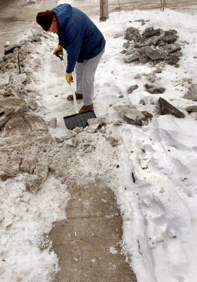
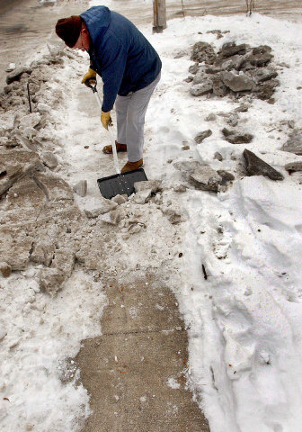
Commuters can expect to find icy conditions on roads this morning because of freezing rain, but temperatures are expected to increase throughout the week.
The change would raise temperatures above freezing for the first time since Nov. 29.
“We’ve had these temperatures pretty long,” National Weather Service meteorologist Jeffrey Cote said. “We’ve been in the 20s or teens since the beginning of the month.”
Al Gilson, public information officer for the Washington state Department of Transportation, said the department does not expect any extreme conditions or travel problems.
“We are prepared for this every year,” he said.
Officials in Washington and Idaho said snow-removal crews will maintain roads for holiday travelers, but no additional personnel or measures are scheduled.
Cote said the warmer storm system will be part of a series of systems moving through Spokane from the west. The warm air will sit on top of colder air to create a “melting layer” in the atmosphere, resulting in a mix of sleet and rain, he said.
Chances of more precipitation will follow with the other systems as the week goes on.
Temperatures will continue to increase as the systems move in, Cote said. The rain is expected to melt snow while temperatures reach the mid-30s.
Predictions put temperatures in the high 30s on Christmas Day with a low in the upper 20s.