Weather forecast has a little of everything

The weather rollercoaster continues.
Snow, rain, fog, clouds, wind and a little sunshine have all been in the Spokane area’s recent forecasts.
Snow was expected to fall Wednesday night and today at elevations above 2,000 feet, but 40-degree temperatures could melt it all away. Then, more flakes could arrive tonight.
Speaking of snow, the mountains have plenty, but the Spokane area has received about 15 inches less than average for this time of year, according to National Weather Service statistics. By now, a little more than 21/2 feet has usually landed in the area. Spokane is also about 7 inches shy of the amount of snow that had fallen by this time last year. But we’re above average for rain by about 3 inches.
The sun, seen only briefly recently, will be covered by all too familiar clouds today and Friday, according to the Weather Service. Along with the clouds, a 30 percent chance of rain is forecast for Friday.
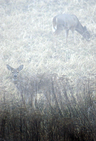
The fog that obscured drivers’ vision and froze the roadway Tuesday and Wednesday is forecast to leave temporarily. But it has already left behind a trail of dents, dings and drivers in ditches.
State, city and county law enforcement reported about 75 crashes between early Tuesday and late Wednesday, many of them due to weather conditions.
The crashes were scattered throughout Spokane County, with Spokane’s North Side and higher elevations being the main trouble spots, Spokane County Sheriff’s Office officials said.
Despite the fog’s density – less than a quarter mile of visibility – the Spokane International Airport remained fully operational, airport officials said. Two United Airlines flights were canceled Wednesday morning, but for unrelated reasons.