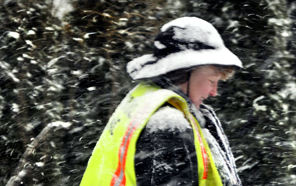
Winter makes triumphant return
Forecast calls for temperatures in single digits and more snow

Record cold weather is expected across the Inland Northwest today and tonight as frigid arctic air flows into the region behind Monday’s snowfall.
The low tonight, likely to occur before daybreak Wednesday, is predicted to be 5 degrees in Spokane, which would break the record of 7 set March 11, 1950. A high in Spokane today of 21 would break the March 10 record for the coldest high, 26 degrees in 1950.
“Temperatures are going to be going down significantly,” said Kerry Jones, forecaster for the National Weather Service in Spokane.
While some forecasters called for slightly higher temperatures, the weather service expected freezing temperatures throughout the region tonight, including 4 degrees in Coeur d’Alene, minus 6 in Deer Park, 7 in Pullman and 3 in Sandpoint. Records likely will be set in St. Maries and Bonners Ferry as the temperature plummets to the low single digits early Wednesday.More snow was forecast through midday today.
Snow began falling about 6 a.m. and set off a series of vehicle accidents, including a fatal collision on U.S. Highway 395 at Regina Avenue and Whitworth Drive in north Spokane. Lori Michelle Bacon, 47, died after her southbound Oldsmobile slid into the northbound lane and struck a pickup driven by Rubie J. Palmer, 23, of Spokane. Palmer was injured in the 8:20 a.m. crash.
Bigelow Gulch Road was closed in the afternoon. Also Monday afternoon, a multi-vehicle collision was reported on the Argonne Road hill. Some cars struggled going up the Post and Monroe street hills on Spokane’s North Side, as well as the hilly roads leading from Argonne to the Northwood neighborhood, north of Pasadena Park in Spokane County.
The Spokane County Sheriff’s Office announced Monday afternoon that it would respond only to injury accidents or crimes against people because it was getting so many calls about collisions and slide-offs. Other calls were being logged for later response, the Sheriff’s Office said in a news release.
The snow and cold were blamed on a combination of a low-pressure system across Eastern Washington and an arctic front that slipped south from British Columbia.
The frigid air is supposed to be short-lived, with a high of 28 on Wednesday and warming through the rest of the week. Highs should rebound to 35 on Thursday and 43 on Friday when dry, sunny weather begins to show a trend toward spring. Spring arrives at 4:44 a.m. on March 20.
“What we are going through now will be a faint memory,” said Jones, of the National Weather Service.
About 4 inches of snow was reported by 2 p.m. in Colville and at the weather service office near Airway Heights.
On Sunday morning, heavy snow was reported in Bonner County, including 11 inches in Clark Fork and 6 inches 13 miles northeast of Sandpoint.
Spokane’s seasonal snowfall total approached 90 inches by Monday afternoon. A total of 86.8 inches of snow had fallen by early Monday at the Spokane International Airport, putting the season in fifth place behind the fourth-place 87.3 inches in 1992-’93.
A year ago, Spokane had 92.6 inches, making that the second-snowiest season on record behind the high of 93.5 inches that fell in 1949-’50.