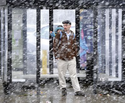
Cloudy outlook
Steady stream of weather has nearly made up for drier-than-normal winter

Spokane set a daily record for rainfall on Monday – the second time this month — setting the stage to turn March into the soggiest one on record here.
Monday’s storm pushed the March precipitation total to the third-highest March on record with five days left in the month, according to the National Weather Service.
So much rain fell in the region that the National Weather Service on Monday issued a flood warning for the Palouse region of Washington and North Idaho.
Small streams, including tributaries of the Palouse River, were at risk of overflowing. In addition, ponding water was expected in urban areas.
Spokane recorded 0.62 inches of rain through 5 p.m. Monday, eclipsing the previous March 26 record of 0.53 inches in 1943.
The monthly total Monday evening stood at 3.31 inches, which eclipsed the 3.25 inches that fell last March. The wettest March on record was in 1995 at 3.81 inches.
A moist southerly flow collided with an elevated cold front in Eastern Washington, causing the higher-than-normal amounts of precipitation, forecasters said.
Pullman-Moscow Regional Airport had 0.8 inches of rainfall by 10 a.m. after the rain started there about 10 p.m. on Sunday.
The March precipitation has nearly made up for a precipitation deficit from late last November and December. The March deluge included a whopping 1.18 inches of rain that fell on March 15, also a daily record.
A new monthly record is possible as early as Thursday based on current forecasts for continuing rainy periods.
“We will probably end up with the wettest ever,” said Ron Miller, forecaster at the weather service in Spokane.
By May and early June, the U.S. Climate Prediction Center is expecting normal temperatures and precipitation, although there’s an increasing chance of below-normal precipitation by the time summer arrives.
Mountain snowpack in the region, including in the Washington Cascades, is at or above normal.
The Palouse River at Potlatch was flowing at 3,430 cubic feet per second Monday, well above the average of 646 cfs for this time of year.
The South Fork of the Palouse River at Pullman was flowing at 1,260 cfs Monday, which is way above the average of 60 cfs for this time of year.